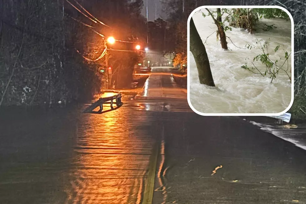
Bad Weather Approaching East Texas
4:55pm
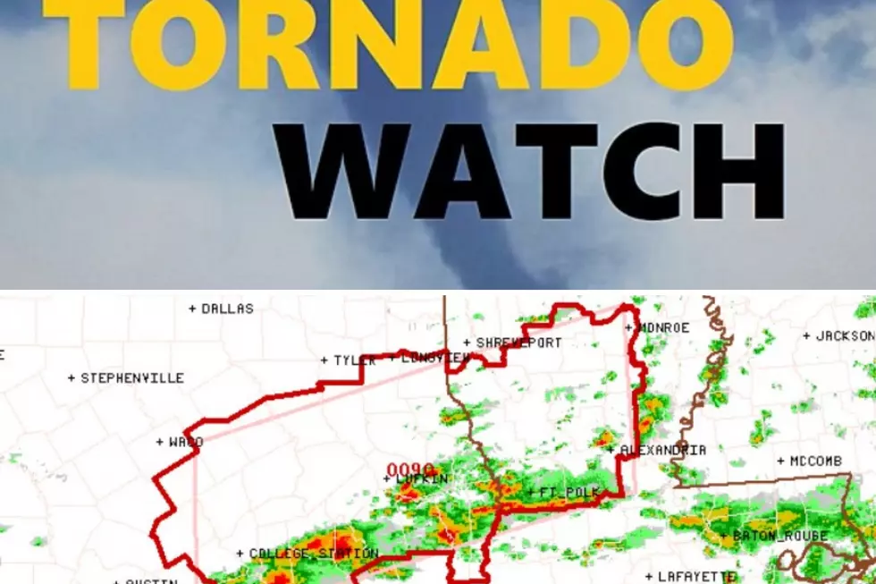
The Jasper/Tyler county severe thunderstorm has just been upgraded to a tornado warning. Possible tornado located near Caney Head, or just west of Fred, moving Northeast. Magnolia Springs and eventually Roganville are in the path of this storm.
4:45pm
Severe thunderstorm warning has been issued for Southern Jasper and Southeastern Tyler counties until 5:15. Severe storm near Fred is moving Northeast at 30mph. Caney Head, Spurger, Magnolia Springs are in the path of this severe storm.
Heavy storms moving through Nacogdoches, but clearing out through Lufkin.
4:10pm
The National Weather Service has extended the Severe Thunderstorm Watch until 6pm for Angelina, Nacogdoches, Shelby, San Augustine, Sabine, Cherokee, Rusk, Jasper, and Tyler counties. No active warnings in place right now but plenty of strong thunderstorms are widespread.
3:45pm
Heavy showers and storms now moving into Angelina County and the Lufkin area, and soon Nacodgoches. No active warnings at this time, but dangerous thunderstorms continue across East Texas. The storm cell that cause the tornado warning to be issued earlier is still nasty and located west of Seven Oaks.
Other heavy storms are located along the highway 59 corridor from Shepherd to Cleveland.
Looks like this could be a significant amount of rainfall over the next couple of hours.
2:50pm
Tornado warning has now been issued for Western Polk, Central San Jacinto, and Southern Trinity County until 3:30. Radar is indicating a severe storm capable of producing a tornado near Coldspring. Other locations in the path of this storm including Onalaska, Lake Livingston State Park, Leggett, and Seven Oaks.
2:25pm
As of 2:25pm, a line of heavy and in some case severe storms are approaching from out West and Southwest.
A severe thunderstorm is in effect for East Texas until 4 this afternoon, but that watch may be re-issued and extended through this evening.
There have also been some warnings issued for counties to the southwest of Lufkin/Nacogdoches.
A tornado warning is in effect until 2:45 for persons in San Jacinto County, with Coldspring being in the path of this storm.
A severe thunderstorm warning is also in effect for Walker County with Huntsville getting the bullseye of that storm.
More From Kicks 105