Heavy Rain, Tornadoes Possible in the Pineywoods on Saturday
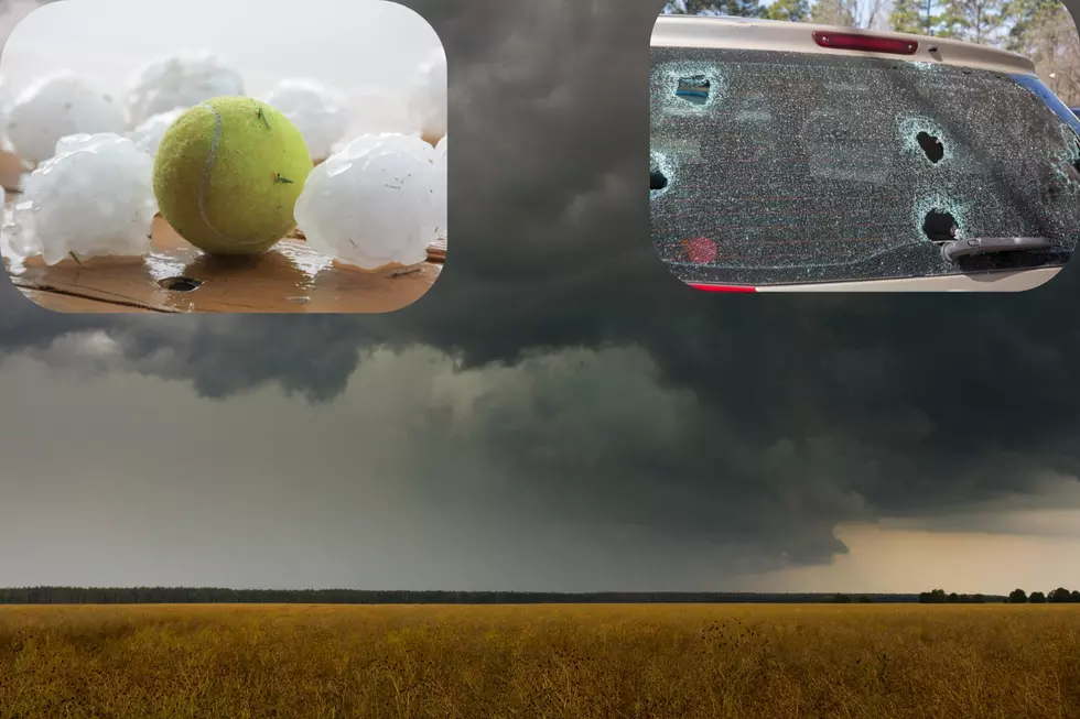
Springtime in East Texas means pollen, love bugs, and severe storms. A round of pea to half dollar sized hail hit our area on Wednesday afternoon, and Saturday night, we could get some more.
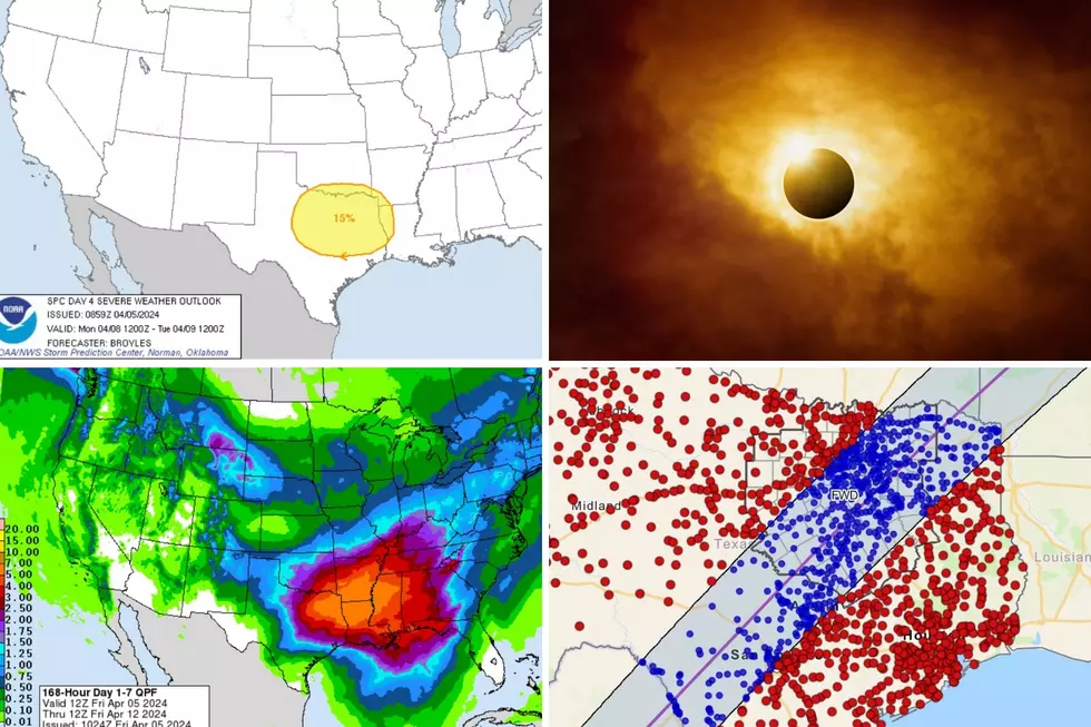
Saturday afternoon, an upper-lever disturbance is expected to lift northeast through Deep East Texas. Add to that a slow moving cold front Saturday night, and you have the ingredients for a severe weather outbreak. The graph above shows that we have a pretty good percentage of severe storms moving through our area.
Severe weather that brings hail, gusty winds, and a few tornadoes is never welcome, but it looks like the worst of these storms will hit the Pineywoods late Saturday night into early Sunday morning. It's never good when these storms move in during sleeping hours.
Heavy downpours are also possible Saturday and late Saturday night. Localized flooding from 1-3 inches of rain could occur. Folks that live in the Ozarks and then across central Missouri could get 8-10 inches of rain over the next 48 hours.
As always, listen to KICKS 105 for the latest updates. Also, be sure to download our free KICKS 105 app to keep up with the severe weather updates.
More From Kicks 105