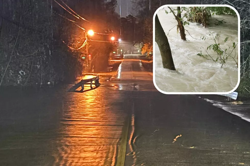
Rain from Tropical System Could Lead to Disastrous Flooding for Texas
Most of East Texas has gotten a nice respite from the rains after one of the wettest months (May) in history.
Looks like that's all about to change...quickly and drastically. Already some of the first outer bands of a tropical system are making themselves known in Galveston.
A tropical system is churning in the Gulf of Mexico and making a beeline for the central Texas coast. As of 12 Noon, Monday, the system still lacks a defined center, but it could get better organized and become a tropical storm before making landfall Tuesday morning between 6AM and 11AM somewhere near Port O'Connor to the Matagorda Bay area.
Whether or not it becomes Tropical Storm Bill the system has the potential of dumping up to 10 inches of rain in parts of Eastern Texas to Western Louisiana. It looks like a swath from the central/upper Texas coastline through the Brazos Valley to west of Tyler could see the heaviest cumulative rainfall amounts.
That much rain in a 24-36 hour period is bad enough, but when you put that on top of ground that still is quite saturated from the May rains, disaster is just waiting to happen. Especially at risk is Houston. It's still recovering from the massive flooding that caused major interstates to become rushing water canals. Emergency crews and first responders are already on alert throughout the Houston and Galveston areas.
More From Kicks 105