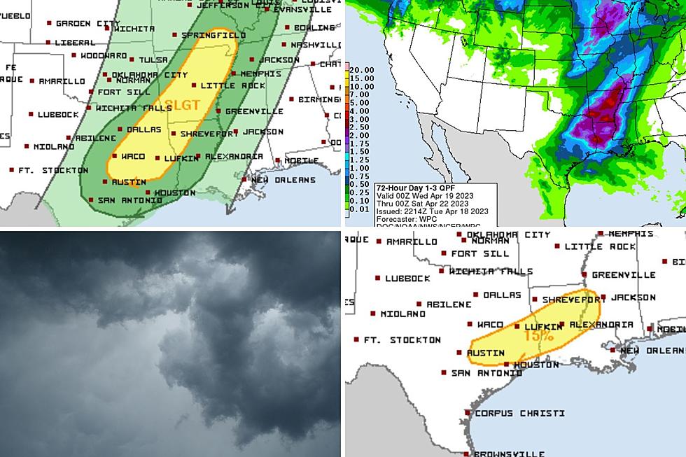
Severe Storms, Hail, Tornados Possible in East Texas with Approaching Cold Front
Today is going to be pretty much a repeat of yesterday as far as the weather is concerned...at least until about late afternoon and early evening. A strong cold front and upper level disturbance will bring an increasing chances of rain and possibly severe storms to the PIneywoods by late in the day.
- Warm and windy condition throughout most of the day. We'll see highs near 80 and South winds gusting to 20 m.p.h.
- Rain chances will stay at 30% throughout the day due mainly to the unstable air mass in place
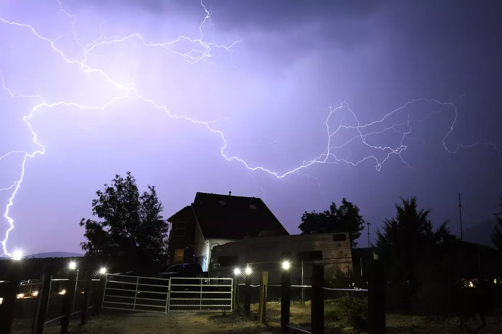
- Between 5-6 p.m., the possibility for storms increases as does the chance for severe weather. Our best chance of the worst of the weather will happen between 5 - 11 tonight.
- Gusty winds, heavy rain, and hail will probably occur in some areas, but an isolated, F0 - F1 tornado cannot be ruled out.
- North winds gusting to 25 m.p.h. will take hold overnight and we should wake up Monday with temperatures in the mid to upper 40's.
More From Kicks 105