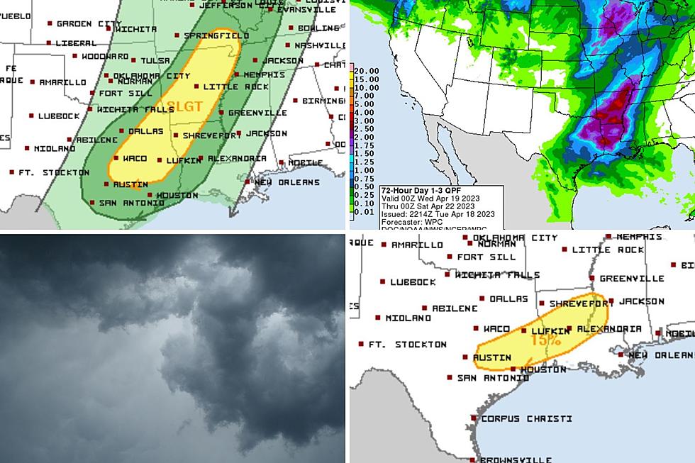
Severe Storms, Isolated Tornadoes Possible Today
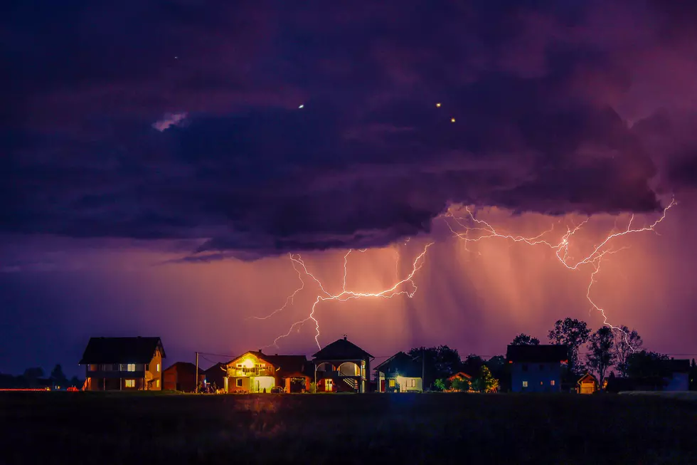
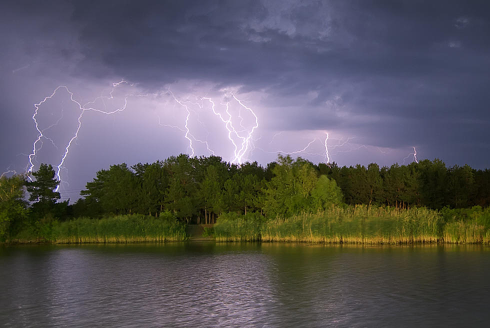
As the afternoon progresses, widespread showers and thunderstorms should start popping up across East Texas. Some of these storms could get to severe levels.
A cold front is located near the D/FW Metroplex and it extends back to the Texas Hill Country. This front along with a strong upper air disturbance are the source of these storms.
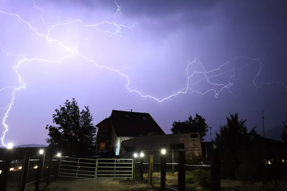
For the most part, damaging straight line winds and locally heavy rain will be the biggest threat from these storms, however, an isolated tornado or two can not be ruled out. As of 12:45 this afternoon, no watches nor warnings have been issued.
Once the storms pass through the evening, cooler weather will filter in and Monday and Tuesday should promise clear skies with highs in the 60's.
Get more details here.
More From Kicks 105