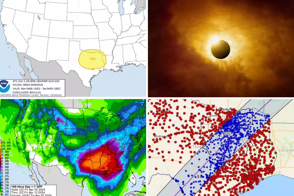
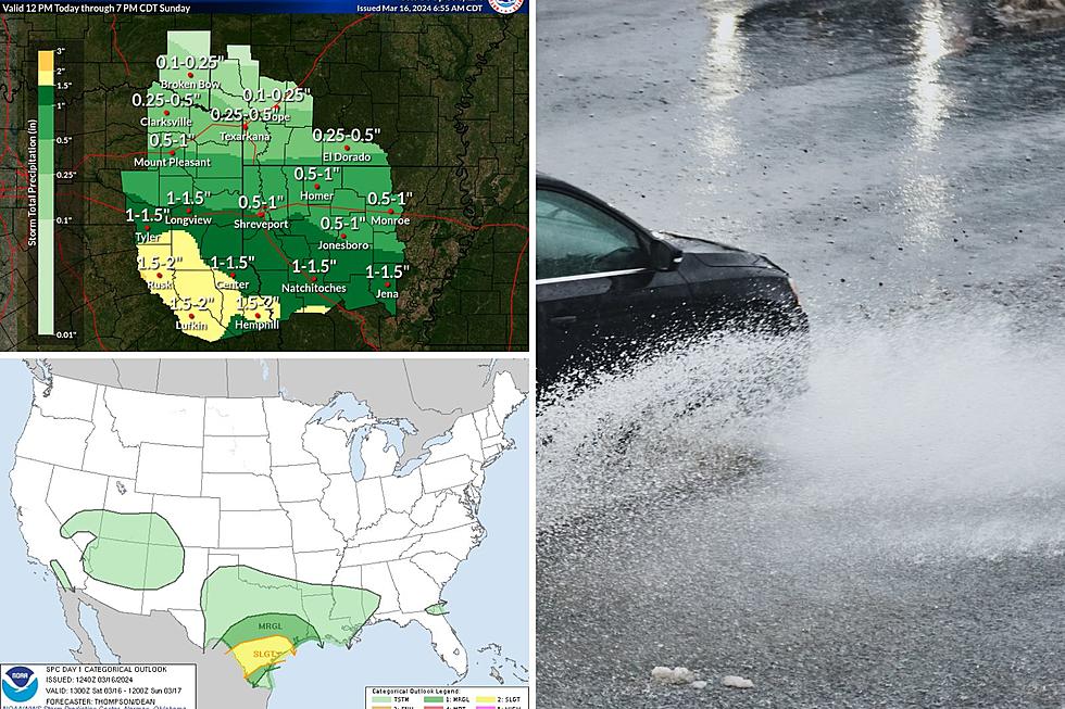
Severe Thunderstorm Watch Issued for Parts of Deep East Texas
- Severe thunderstorm warning until 6 p.m. for Sabine, San Augustine, and southern Shelby counties.
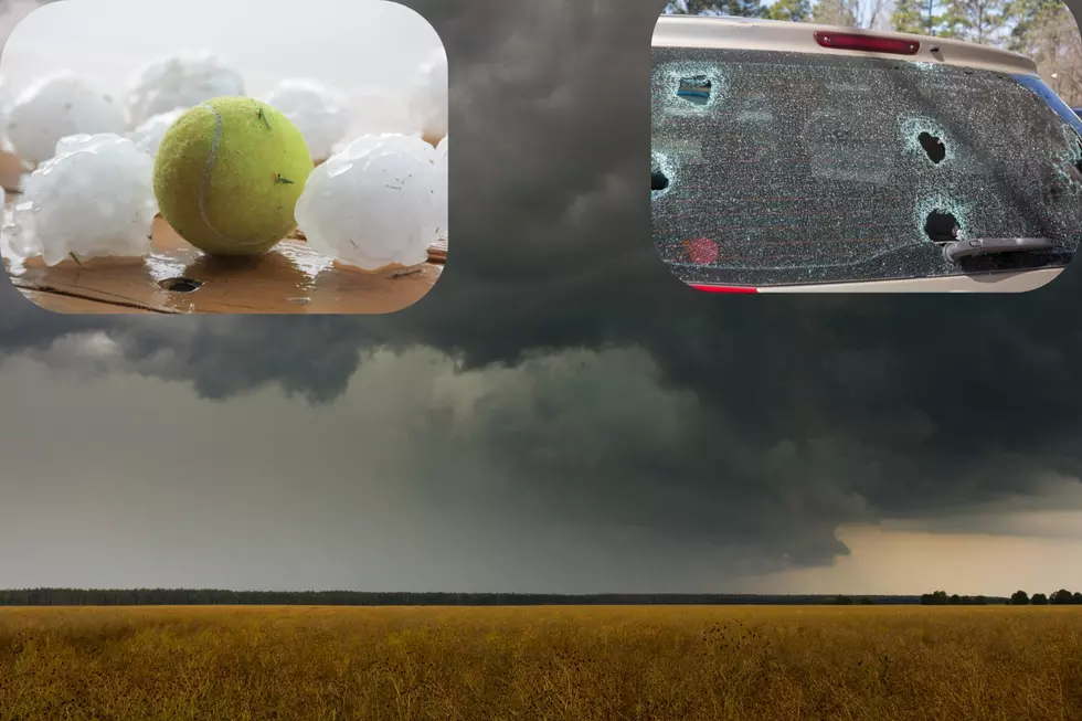
- (4:30 p.m.) Severe thunderstorm warning until 5:15 p.m. for eastern Angelina, southeastern Nacogdoches, southeastern Shelby, Sabine, and San Augustine counties. Persons in Pineland, San Augustine, Bronson, Broaddus, and Hemphill should be on the lookout for high winds, quarter sized hail, and heavy downpours.
- (4:04pm) Severe thunderstorm warning until 4:45 for central Angelina, southeastern Nacogdoches, San Augustine, western Sabine, southern Shelby counties. Severe storm near Woden moving east at 35 mph. High winds and penny sized hail possible in storm's path.
- Tornado Warning for northwestern Shelby county until 4:30. Possible tornado located near Timpson moving towards Center.
- (3:55 p.m.) - tree reported across the road on Highway 204 West of Trawick in northwestern Nacogdoches County, please find alternate route.
- A severe thunderstorm warning is in effect until 4 pm for northeastern Nacogdoches and northwestern Shelby counties. A severe storm could cause wind and/or hail damage in towns such as Garrison, Tenaha, and Timpson.
- A severe thunderstorm warning is in effect until 3:45 p.m. for Cherokee county and northwestern Nacogdoches County. A severe storm could cause winds up to 60 mph and quarter sized hail for Rusk, Jacksonville, Mixon, Cushing, and Reklaw.
- The National Weather Service has issued a severe thunderstorm watch until 6 p.m. for Angelina, Nacogdoches, and other parts of Deep East Texas. Damaging winds and hail are possible with some of these storms that may develop across the area.
Additional Deep East Texas counties in the watch area include Houston, Trinity, Cherokee, Sabine, San Augustine, and Shelby Counties. Polk, Tyler, and Jasper counties are NOT included as of now. There is a substantial risk of tornado development through central Arkansas and expanding northeastward.
We will be updating this website as conditions warrant.
More From Kicks 105