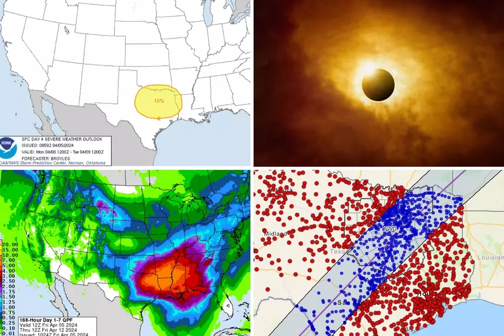
Strong Storms Entering the Pineywoods, Could Reach Severe Limits
A strong cold front is making its way across Deep East Texas Monday evening and kicking off a developing of line of strong storms.
One line of storms extends from the Highway 59 corridor from near Garrison to Tenaha. The other bigger line of storms extends from near Kennard to Trinity to just west of Huntsville. All activity is pushing south and southeast.
Although no warnings nor watches have been issued as of 9:15 p.m., strong storms could be brief heavy rain, strong winds, lightning, and even small hail.
As of this last radar, the Nacogdoches area does not have any immediate threat of heavy showers, however Lufkin to Diboll to Livingston should be on the lookout for storms over the next hour or two.
More From Kicks 105