Tropical Storm Erin Forms, New Storm Possible in Gulf This Weekend
The Tropics are heating up, as in getting busy.
Tropical Storm Erin has now formed in the Eastern Atlantic Ocean, and a separate tropical storm may form over the weekend or early next week in the Gulf of Mexico.
First, let's concentrate on the wave. This area of showers and storms is currently in the Northwestern Caribbean and is expected to move across the Yucatan over the next day or two. That means places like Cancun, Belize, and Cozumel can expected some nasty weather. (anyone planning any a cruise soon?). This system is expected to move into the southern Gulf of Mexico where conditions are conducive to strengthening. The area of showers is then expected to make a northerly turn and possibly make landfall in Louisiana. However, we're still too far out to pinpoint the possible strength potential of the storm as well as the specific track. Regardless, a slight chance of showers has been added to our forecast for Tuesday and Wednesday of next week.
Now, let's talk about Tropical Storm Erin. Top sustained winds are 40 mph making Erin a minimal tropical storm, plus she is still way out there in the Atlantic. As you can see by the forecast graphic, Erin is still at least a week away from possibly moving into the Caribbean, but she certainly will be requiring our attention by mid-week next week.
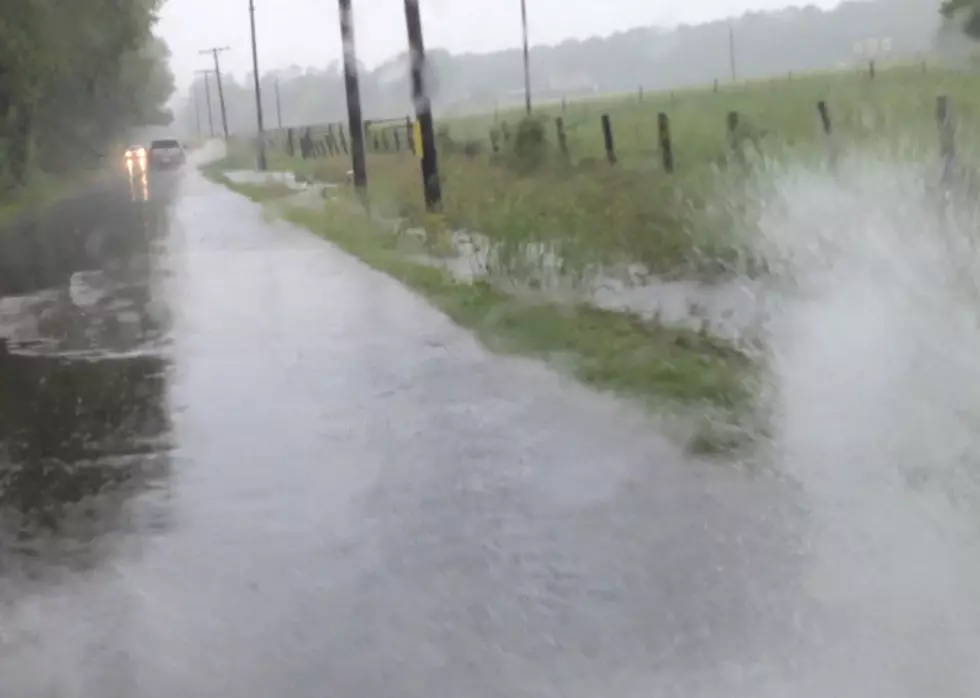
After experiences with Rita and Ike over the last decade, we certainly don't want the brunt of any tropical systems, but we'll take the rain.
More updates to come.
More From Kicks 105