All I Want for Christmas Are…Tornados?!
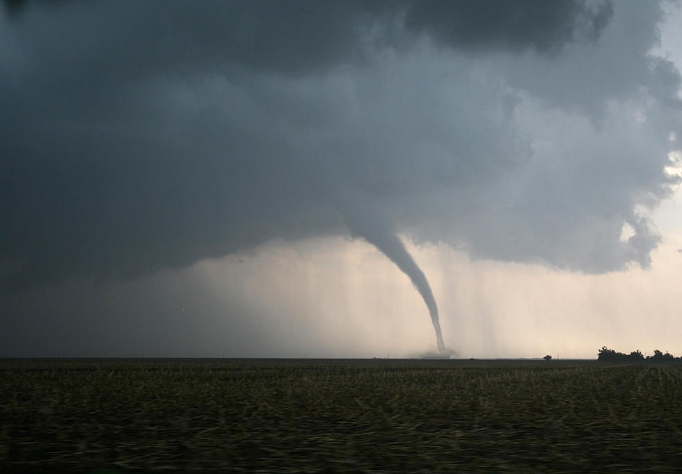
Well, not necessarily on Christmas Eve or Day, but this final weekend before the 25th could prove stormy, and possibly destructive. A cool front is coming and Saturday afternoon may get interesting, to say the least.
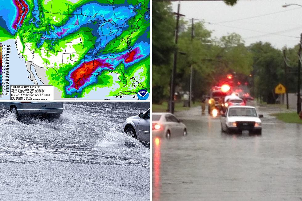
Currently, the Storm Prediction Center in Oklahoma is indicating a slightly raised risk for severe weather in Eastern Texas and Western Louisiana on Saturday. Pockets of severe weather could start forming as early as Friday night across Northeast Texas and flash flooding cannot be ruled out as well.
In the Pineywoods, it looks like the best chance of severe weather will be Saturday afternoon and evening. Plus 1.5 - 2 inches of rain should be pretty commonplace. This cool front and storm system will bring cooler temperatures but nothing like the cold snap of a week ago. Sunday's high should be around 56.
Listen to KICKS 105 for all the updates and remember to download the free RadioPup app to your smartphone to listen to KICKS on your iPhone or Droid.
More From Kicks 105


