Tropical Storm Cindy Could Bring Flooding to East Texas
As far as Hurricane Season goes, it's been rather quiet for the eastern third of Texas over the past few years. That could be about to change.
A storm system started taking shape several days ago in the Caribbean southeast of the Yucatan Peninsula. Now, Tropical Storm Cindy has evolved from that disturbance. At first, most tracking models predicted that the storm would make landfall somewhere along the central Louisiana coast, but, the most recent projections are showing the Sabine Pass area could be ground zero.
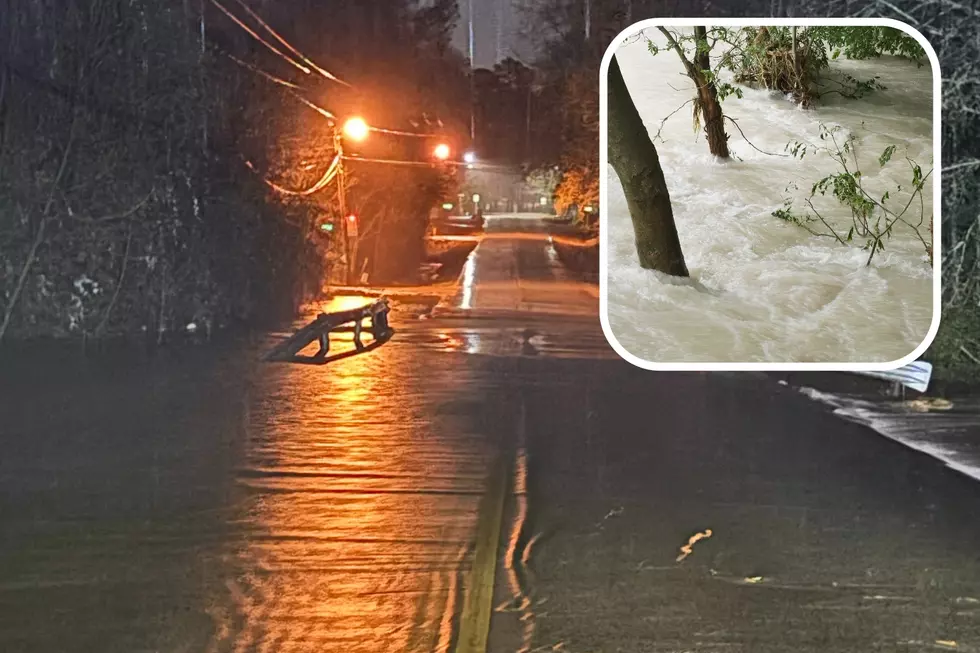
Gradual strengthening is expected before landfall sometime early Thursday morning, however, Cindy should remain a tropical storm and not reach hurricane status. That's good news when it comes to possible wind damage, however, heavy rainfall and flooding is expected in areas stretching from East Texas to Mobile, Alabama. Up to 8 inches of rain is expected in the Pineywoods from now through the weekend, while up to 14 inches could accumulate in coastal areas of Alabama and Mississippi. Most of the heavy rainfall in East Texas should happen late Wednesday and throughout the day on Thursday.
Now, all of this continues to depend on the forecasted track of this storm. A slight jog or wobble to the east could change a lot for the rainfall expected in East Texas. We will continue to update on air and online as necessary.
More From Kicks 105


