Tropical Storm Expected to Impact East Texas with Heavy Rain
Hey East Texas, get ready for Harvey...as in Tropical Storm Harvey.
Last week, forecasters were tracking Harvey as it churned through the Caribbean. Most all weather models showed that Tropical Storm Harvey would weaken (which it did), would make landfall on the Yucatan Peninsula (which it has), emerge in the southern Gulf of Mexico (which it should), and then make a beeline to central coast of Mexico (which it won't).
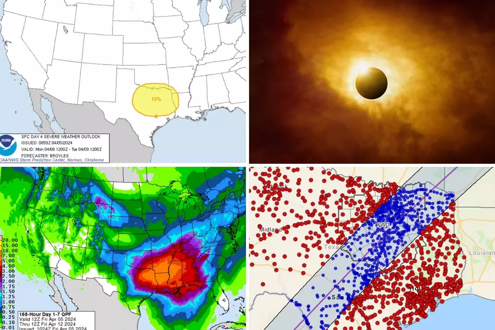
Forecasters now expect the remnants of Harvey to turn more towards the north and head towards the Texas Coastal Bend (watch out Rockport). Harvey should also strengthen back to a tropical storm before landfall before making a northeastern turn towards East Texas. That means the Lufkin/Nacogdoches area will be on the 'stormiest' side of the storm and that means the potential for heavy rainfall from Wednesday through the weekend will be high from the mid-Texas coast through the eastern third of the state.
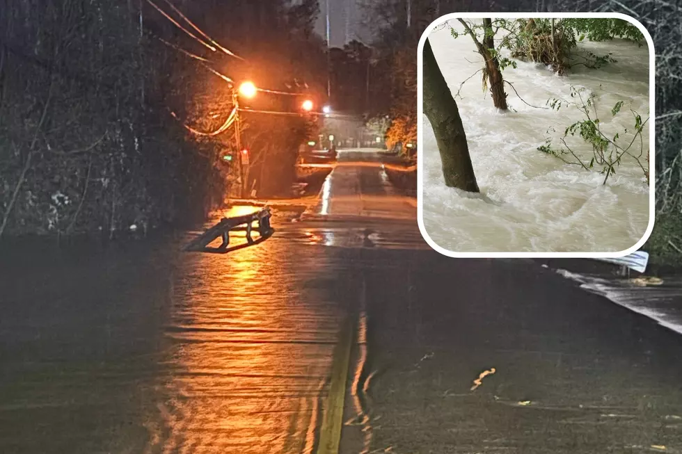
Anywhere from 4 to 8 inches of rain, and possibly more is expected depending upon the track and strength of Harvey.
As always, listen to KICKS 105 for any and all updates.
More From Kicks 105


