Get Ready for a 30-Degree Drop in Temps by Wednesday Afternoon
Wednesday will be two separate days.
When you are deciding what you and/or your kids should wear on Wednesday, keep that in mind. When you head out for work or school Wednesday morning, forecasters are predicting that the temperatures will be near 70 and it will be a bit on the muggy side. That's Wednesday - Day One.
You could opt for short sleeves and decide to leave the jacket in the back of the closet, but you would be shivering the rest of the day. That's because Wednesday - Day Two should be arriving between 7am - 10am. That's when the cold front is expected to start making its way through the Pineywoods.
Here's what you can expect throughout the day on Wednesday. As mentioned, it will start similarly to how Tuesday morning started - overcast and temperatures in the mid to upper 60s. Between 7am - 10am, the cold front is expected to move through the Lufkin/Nacogdoches area. The rain/thunderstorm chances will increase to about 60% during that time, the temperatures will start dropping towards the 50s, and the winds will start to pick up out of the north.
After lunchtime, the rain probability starts to decrease, but the winds will be gusting up to 30 mph. Combine that with the temperature holding in the 50s and the 'feels like' temperature will be in the 40s by the time the kids get picked up from school. That will definitely be a far cry from the 80-degree afternoon temperatures we've had over the past few days.
So, if the question is what should your wear Wednesday, the answer is...everything.
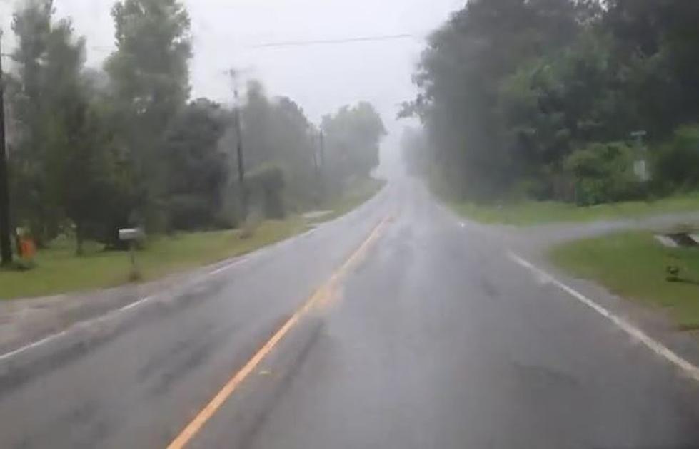
There is also the chance of a strong to severe thunderstorm popping up across Deep East Texas Tuesday afternoon/evening, as well as Wednesday morning when the cold front starts to arrive. However, forecasters are expecting the best chances of severe weather to be to the north and northeast of the Pineywoods. Of course, that's what they said for this past Saturday.
As always, listen to KICKS 105 for updates and download our KICKS 105 App to have weather alerts sent to your smartphone.

LOOK: The most expensive weather and climate disasters in recent decades
Gallery Credit: KATELYN LEBOFF
More From Kicks 105