Just How Bad is Today’s Weather Going to Be?
Bad.
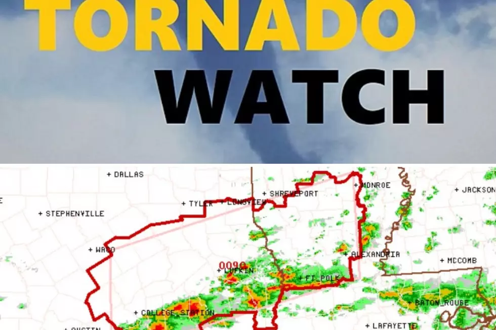
From now through late this afternoon, forecasting models are in agreement that a trough pushing through Texas will bring Deep East Texas a significant chance of severe weather.
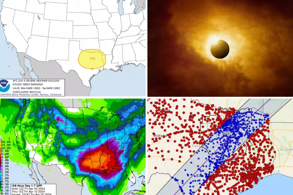
The Pineywoods are in every bull's eye when it comes to severe weather today. The above graph shows that we have a high chance of tornadoes.
How about wind damage?
Lufkin, Nacogdoches, Tyler, and Longview are in that area where wind gusts of over 50 mph are expected with storms today.
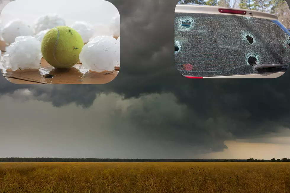
How about hail?
Once again, Deep East Texas expects to get the worst of it.
So basically, anyone living in the Pineywoods needs to have a plan of action in case the storms get severe and possibly tornadic. Oh yeah, and then there's this...
Upwards of 5 inches of rain could fall from today's storms in East Texas. We could experience numerous downpours and severe cells throughout the day. A Flash Flood Watch is in effect for East Texas through tomorrow morning (Monday). Keep checking back to this post and to our Facebook Page for updates.
More From Kicks 105