Next Round of Severe Weather Should Mimic Last Week’s Outbreak
Last Wednesday morning, a line of strong to severe storms made their way across the Pineywoods. For the most part, the storms stirred up some wind, spread a few pellets of hail and dropped about a half inch of rain. That was about it for East Texas.
However, as the frontal boundary traveled eastward, numerous tornadoes and outbreaks of severe weather occurred especially in Mississippi and Alabama. As we fast forward to current day, the Storm Prediction Center in Norman, Oklahoma is forecasting another storm system will be moving through our area soon, and they are predicting that the timing and storm outbreak in our area and along the Gulf Coast states will be similar to what happened last week. That's decent news for us, not so good news for the folks east of us.
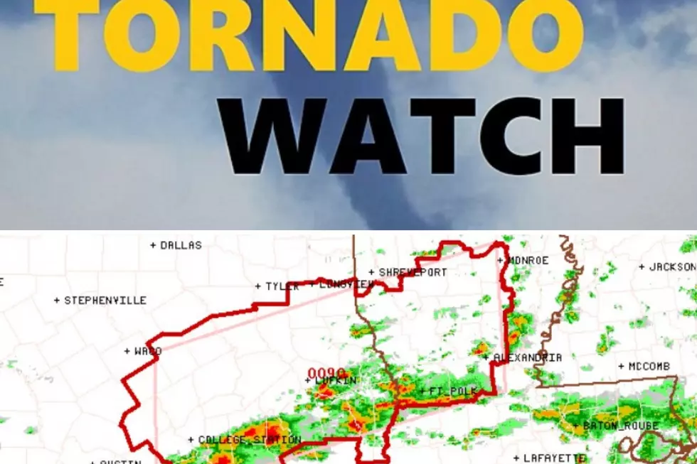
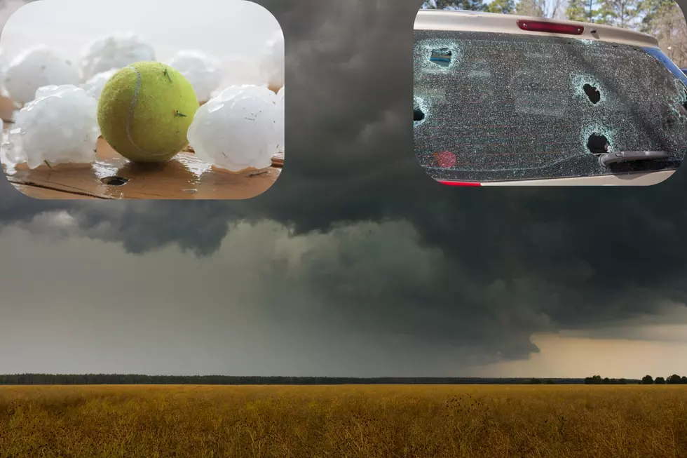
The chance of showers and thunderstorms across Deep East Texas will begin Wednesday afternoon and increase throughout the evening and overnight hours. Several strong to severe storms in the Pineywoods during these times cannot be ruled out, however the better chance of stronger storms should happen closer to the Ark-La-Tex region as well as across north-central Texas into the D/FW Metroplex. Downpours, gusty winds of 60+ mph, hail, and tornadoes are all in play.
The best chance for the strongest thunderstorms and heaviest downpours in East Texas will happen Thursday morning between 6 am - noon. That was the exact time frame that we received our storms last week on Wednesday, March 17. And, just as it happened last week, the storms will gain strength Thursday afternoon and another tornado outbreak could take aim for the same areas of Mississippi and Alabama.

As always, make sure that you have downloaded the KICKS 105 App to receive weather alerts sent to your smart phone or smart device.
LOOK: The most expensive weather and climate disasters in recent decades
More From Kicks 105


