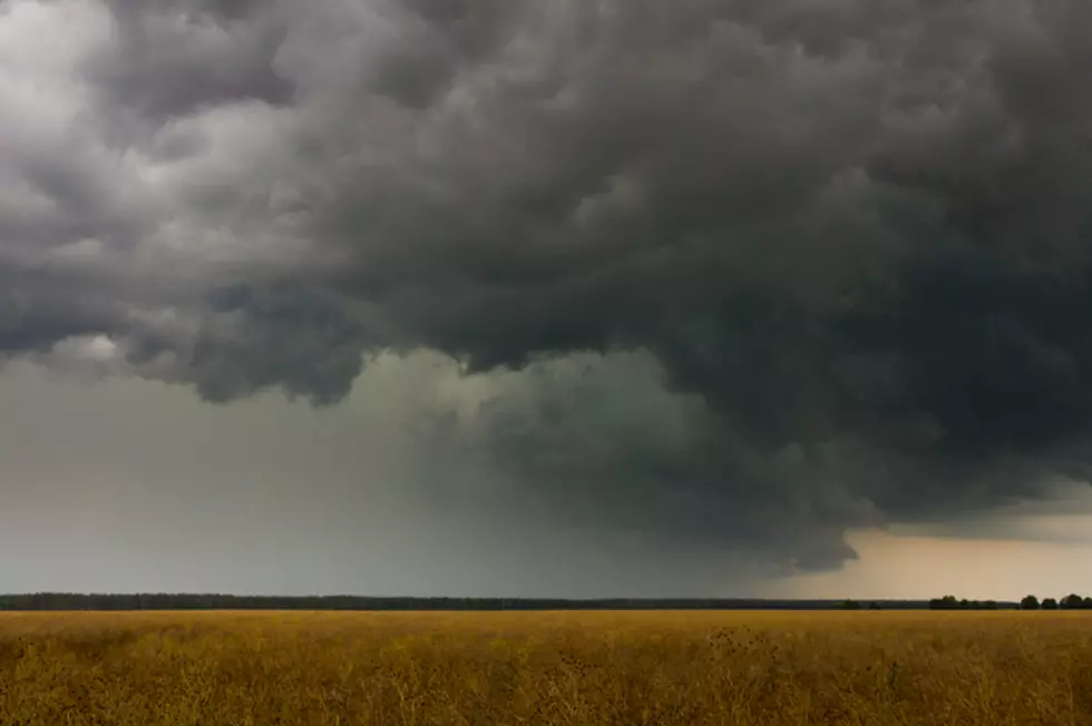
Severe Weather Watches and Warnings for Deep East Texas
TORNADO WATCH IN EFFECT UNTIL 7PM FOR ALL OF DEEP EAST TEXAS
Find the latest weather watches and warnings here:
- Issue time - 3:11 pm, 4/13, severe thunderstorm warning for southeastern Shelby, eastern San Augustine, and Sabine counties. 70mph wind gusts and penny sized hail are possible.
- Issue time - 3:08 pm, 4/13, severe thunderstorm warning for east central Polk county until 3:45. Storm near Goodrich is moving north. Expected to impact Alabama-Coushatta area with up to 70 mph wind gusts.
- Issue time - 3:05 pm, 4/13, tornado warning for northwestern Sabine county. Possible tornado near Rosevine.
- Issue time - 2:55 pm, 4/13, tornado warning for east central San Augustine and west central Shelby counties until 3:30 pm. Radar indicated rotation near Pineland moving northeast. Persons in Bronson and Rosevine should prepare to take shelter.
- Issue time - 2:41 pm, 4/13, severe thunderstorm warning for eastern Nacogdoches, central Shelby, southeastern Angelina, San Augustine, and southwestern Sabine counties until 3:45. 70mph wind gusts and nickel sized hail are possible.
- Issue time - 2:35 pm, 4/13, tornado warning for east central Nacogdoches, southwestern Shelby, northwestern San Augustine counties. Possible tornado near Melrose moving northeast at 35 mph.
- Issue time - 2:23 pm, 4/13, severe thunderstorm warning for central Polk county until 2:45.
- Issue time - 2:01 pm,, 4/13, severe thunderstorm warning until 2:45 for Angelina, Nacodgoches, and southwestern San Augustine counties.
- Issue time - 1:55 pm, 4/13, severe thunderstorm warning for eastern Trinity, eastern Houston, and northwestern Polk counties until 2:45. Up to ping pong sized hail and winds gusting to 60 mph can be expected in or near Groveton, Apple Springs, and Centralia. Tornado development could occur.
- Issue time - 1:39 pm, 4/13, tornado warning for northwestern Nacodgoches and east central Cherokee counties. Tornado near Alto moving northeast at 35mph. Atoy, Reklaw, Cushing...take cover.
- Issue time - 1:36 pm, 4/13, tornado warning for west central Nacogdoches, northwestern Angelina, and southeastern Cherokee counties until 2 pm. This tornadic storm is expected to be near Wells and Pollok by 1:45, and Douglass by 1:55.
- Issue time - 1:30 pm, 4/13, tornado warning for northwestern Trinity and northeastern Houston counties. This dangerous storm will be near Kennard at 1:55.
- Issue time - 1:18 pm, 4/13, severe thunderstorm warning for Houston county until 2 pm. Winds gusting to 60 mph with quarter sized hail is possible in Crockett, Lovelady, Latexo, Weches, Kennard, and Grapeland. Remain alert for possible tornado development.
- Issue time - 1:05 pm, 4/13, tornado warning for west central Nacogdoches county and southern Cherokee county until 1:45. Expect the storm to be located near Forest at 1:25, Alto, at 1:30, and Douglass at 1:40.
- Issue time - 12:43 pm, 4/13, Tornado Warning for northeastern Houston county until 1:30. This storm has a history of producing a tornado. This storm looks to be taking close to the same track as a previous morning storm system that left damage near Kennard, Weches, and Alto.
- Issue time - 12:12 pm, 4/13, Severe Thunderstorm warning for northwestern Nacogdoches and northeastern Cherokee counties until 1 pm. Winds gusting to 60 mph and quarter sized hail are possible in locations such as Sacul, Cushing, Ponta, and Reklaw.
- Issue time - 12:12 pm, 4/13, Tornado Warning for southwestern Houston county until 1 pm. Towns in the storm path include Austonio - 12:25 pm, Lovelady - 12:30 pm, Crockett - 12:50 pm, and Latexo - 12:55 pm.
- Issue time - 11:50 am, 4/13, Tornado warning for southwestern Houston county until 12:15.
- Issue time - 11:38 am, 4/13, previous entry for severe thunderstorm warning has been upgraded to a tornado warning for the same areas.
- Issue time - 11:35 am, 4/13, Severe Thunderstorm Warning for northwestern Nacogdoches and southeastern Cherokee county. This storm has a history of winds gusting to 60 mph and quarter sized hail. Persons is Lilbert, Morrill, Alto, and Rusk should be prepared.
- Issue time - 11:29 am, 4/13 -- Tornado Warning until noon for northeastern Houston County. Radar indicated rotation located 18 miles north of Kennard. Persons near Weches and eventually west central Cherokee county should be prepared and alert.
- Issue time - 11:10 am, 4/13 -- Severe Thunderstorm warning until 11:45 for north central Trinity county and northeastern Houston county. 60 mph wind gusts and quarter sized hail are possible for Kennard, Weches, and Pennington.
- Issue time - 10:31 am, 4/13 -- Severe thunderstorm warning until 11:15 am for southeastern Shelby, northeastern San Augustine, and northwestern Sabine county. A storm system with up to quarter sized hail may affect Rosevine, Patroon, Huxley, Milam and the Toledo Bend Reservoir.
- Issue time - 10:21 am, 4/13 -- Flash Flood Warning for northwestern Shelby county until 1:15 pm.
More From Kicks 105


