Tornado Watch in Effect Until 6 PM for Parts of Deep East Texas
UPDATE: Severe Thunderstorm Warning in effect until 12:45 pm for northwestern Sabine, east central San Augustine, and southeastern Shelby counties. 60 mph wind gusts and quarter-sized hail could impact areas such as Rosevine, Milam, Bronson, and the northern half of Toledo Bend Reservoir.
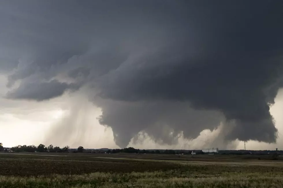
A strong cold front is moving through East Texas today and bringing with it the potential for severe weather, which could include tornadoes.
The Storm Prediction Center in Oklahoma City has issued a Tornado Watch until 6 p.m. for Sabine, Shelby, San Augustine, Jasper, Tyler, and Newton counties. The existing atmospheric conditions are favorable for the outbreak of severe weather in these counties. In fact, a few tornado warnings have already been issued for portions of southeast Texas this morning.
The threat of severe weather should gradually end from west to east as the cold front pushes across the area. Expect clearing skies this evening with a low near freezing.

More From Kicks 105


