Tornado Watch Issued for Large Portion of Deep East Texas
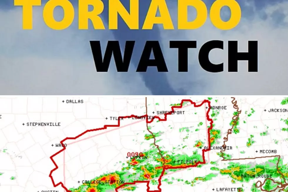
The Storm Prediction Center in Norman, Oklahoma has issued a Tornado Watch for much of the Pineywoods and extending to all of southeast Texas. A warm front continues to move northward across the Deep East Texas area which continues to add more instability and higher dewpoints in our region which in turn increases the opportunity for the development of storms that may become severe. These severe storms may also spawn tornadoes throughout the region as well.
Officially, the Tornado Watch is in effect until 9 pm and includes the following counties in the Deep East Texas area:
Angelina, Nacogdoches, Sabine, Shelby, Cherokee, Trinity, Houston, San Augustine, Tyler, Polk, Jasper, and Newton Counties. So, basically all of the Pineywoods, southeast Texas including Houston, Galveston, and Beaumont, and the Brazos Valley including Bryan/College Station. Tyler/Longview is NOT included.
Residents in these counties and areas should be alert to rapidly changing weather conditions. In many instances, an area of rain can develop into a severe storm in less than 30 minutes. If you live in a mobile home, have a plan in place of getting to a structure that will give you more protection against a possible tornado. Hail often accompanies severe storms. Try keeping your vehicles, pets and livestock protected from hail which could be the size of golf balls or larger.
Listen to KICKS 105 for updates and download our free KICKS 105 app to have weather alerts sent immediately to your smartphone.

LOOK: The most expensive weather and climate disasters in recent decades
More From Kicks 105
