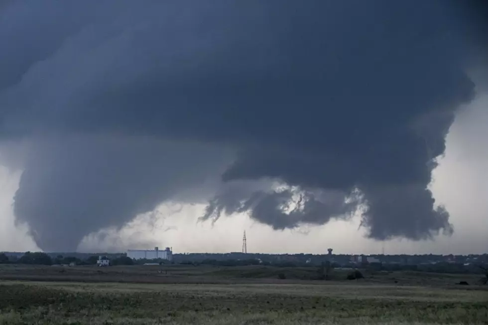
Tornadoes, Damaging Winds Possible in East Texas Today & Tonight
Our first real cold front of the Fall season should be moving into the area late tonight and tomorrow. Clear skies, lower humidity, and cooler temperatures are expected by the end of the week. Before we reap the nice weather, however, we may have to endure some strong to severe weather Tuesday afternoon through early Wednesday morning.
The advancing front will push a line of storms through the Pineywoods. These storms have a marginal to slight chance to become severe and produce winds gusting to over 60 mph as well as some isolated tornadoes. As of 10:00 Tuesday morning, a few tornado warnings had been issued in parts of the Texas Hill Country. Although the risk of tornadoes in East Texas is not expected to be as high as in the central sections of Texas, it would be wise to remain alert to rapidly changing weather.
Listen to KICKS 105 for updates, and make sure you've downloaded our free KICKS 105 app for immediate weather watches or warnings.

More From Kicks 105


