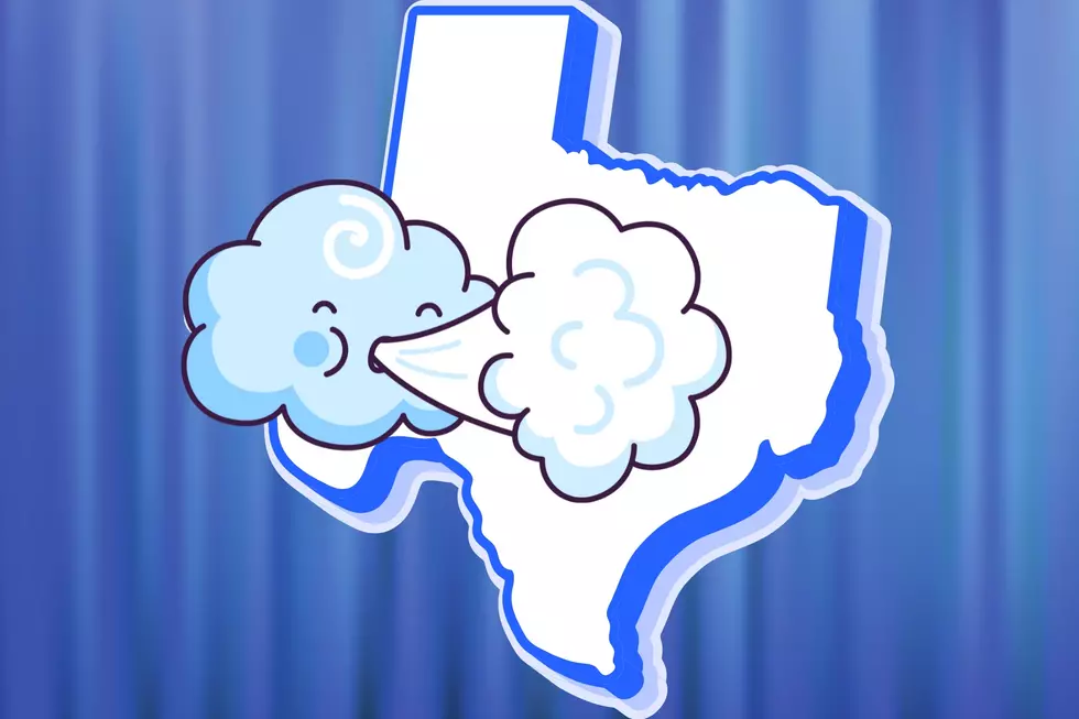
Severe Storms May Bring Tornados, Isolated Flooding to East Texas
A little over a week ago, forecasters were warning residents of East Texas and Louisiana to be prepared for severe storms that could spawn some strong tornados. Most of the Pineywoods were bypassed by the severe weather, but much of central Louisiana saw damaging winds and several tornados.
November and December tend to be a secondary tornado season for East Texas, and so here we go again.
Here We Go Again
A strong upper-level system is expected to produce widespread downpours and severe weather across East and Southeast Texas on Thursday. According to the latest forecast from the Storm Prediction Center in Oklahoma, the area in Texas that has the highest probability of experiencing severe weather lies from College Station to Lufkin to Toledo Bend and then all points southward towards Houston and the Golden Triangle.
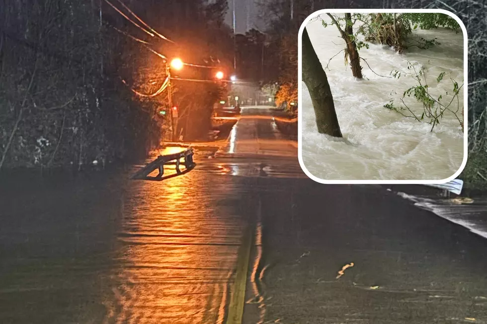
Flooding Possible in East Texas
In addition to damaging straight-line winds and a few tornados, heavy downpours could bring 2-3 inches of rain which would also bring isolated flooding to some locations in the eastern third of Texas.
The rain chances will start to ramp up overnight Wednesday, but the heaviest rainfall amounts are expected to occur throughout the day on Thursday, especially during the afternoon and evening hours. That is also when the best chance of severe weather will happen across Deep East Texas.
After the Storms
Southerly winds gusting to 30 mph are also expected on Thursday before flipping to northerly breezes by Friday. High temperatures will be in the 60s all the way through the weekend.
Download our station app to have weather alerts sent to your smartphone.

Weather Inspired Baby Names Expected To Soar in 2024
Gallery Credit: Lucky Larry, Mix 93-1
More From Kicks 105