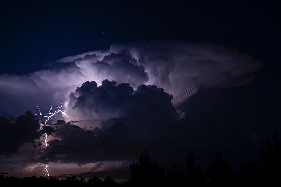
Severe Weather Outbreak May Bring Strong Tornadoes to East Texas
On November 3rd, we published a story detailing a developing dangerous weather situation for portions of East Texas. On Friday, November 4, a severe weather outbreak occurred over portions of northeastern Texas and southeastern Oklahoma. Several strong tornadoes including a tornado with estimated winds topping 170 mph were spawned from that storm system. That EF-4 tornado destroyed a number of homes in and near Idabel, Oklahoma.
Here We Go Again
The Storm Prediction Center in Oklahoma is warning folks that live in Deep East Texas of another severe weather outbreak that is expected to happen Tuesday through Wednesday morning. Damaging straight-line winds over 60 mph, hail, and tornadoes are all possibilities.
Significant Severe Thunderstorms
Take a look at the map below. The 'dotted' area indicates where forecasters believe significant severe weather could occur. This would include straight-line winds over 75 mph, golf ball or larger sized hail, and/or strong tornadoes with winds in excess of 111 mph.
Regions near the Mississippi River from Memphis to northern Louisiana appear to have the highest chances of the worst of the weather. However, anyone living in the Pineywoods of East Texas should remain alert to the possibility of all forms of severe weather with this expected system.
When Can We Expect the Worst of It?
Tuesday is expected to be a rainy day across the Pineywoods. However, the greatest chance of severe thunderstorms should take place between noon and 6 pm.
We are still about 36 hours from when this storm system is expected to move into the area, so the timing may still change a bit between now and then. Listen to KICKS 105 for updates and download our free KICKS 105 app to have weather alerts sent to your smartphone.

LOOK: The most expensive weather and climate disasters in recent decades
Gallery Credit: KATELYN LEBOFF
DPS Helicopter Gives Us Aerial View Of Storm Damage In Cushing, Texas
Gallery Credit: Dan Patrick
55 Heartbreaking Photos of Mayfield, KY Tornado's Aftermath
Gallery Credit: Ryan O'Bryan / Leslie Morgan
More From Kicks 105


