Strong Tornadoes With 111+ MPH Winds At Risk in East TX on Monday
An East Texas Winter Weather Riddle
Q: What's a sure sign that you live in East Texas during the winter?
A: When your load of laundry for the same day includes shorts, t-shirts, sweaters, and jackets.
That's how quickly the weather can go from frigid to warm and right back to freezing.
The East Texas Winter/Spring Rollercoaster Continues
This is nothing new for the Pineywoods. It happens every winter. The problem is that whenever we get a cold front pushing through the warm, humid spring-like air, storms kick up.
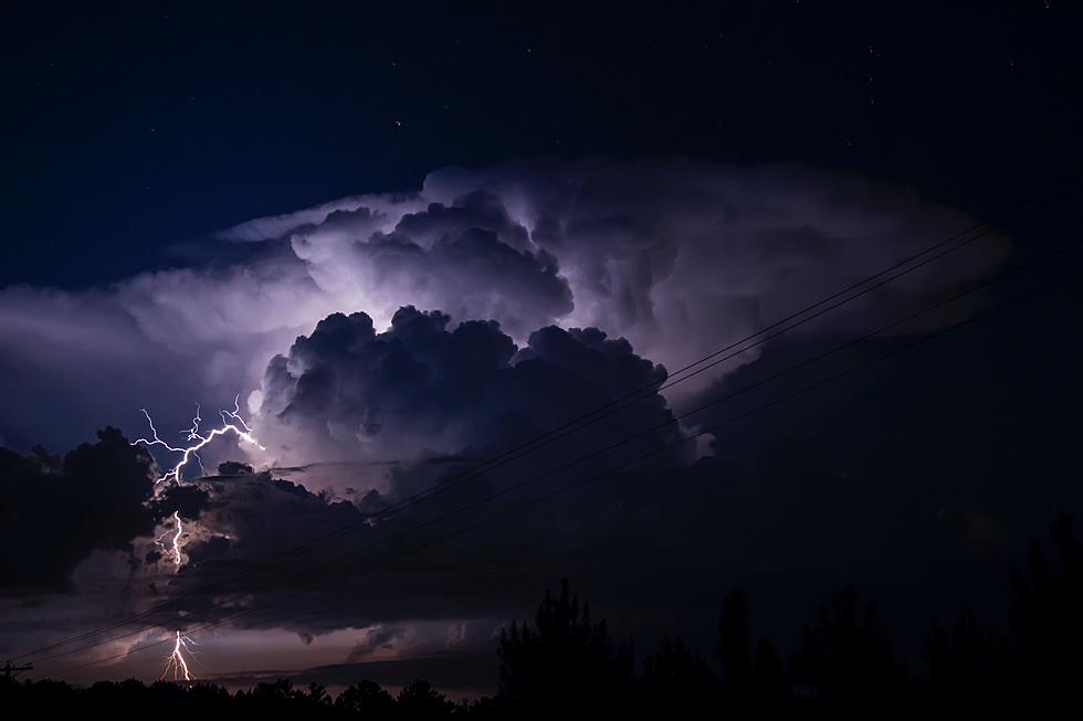
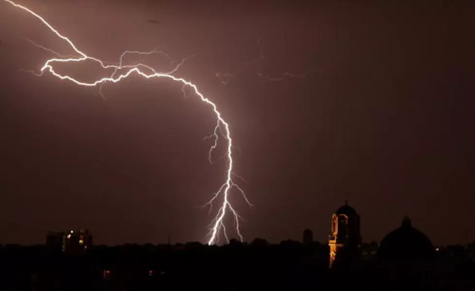
Sometimes, those storms can be severe and downright dangerous.
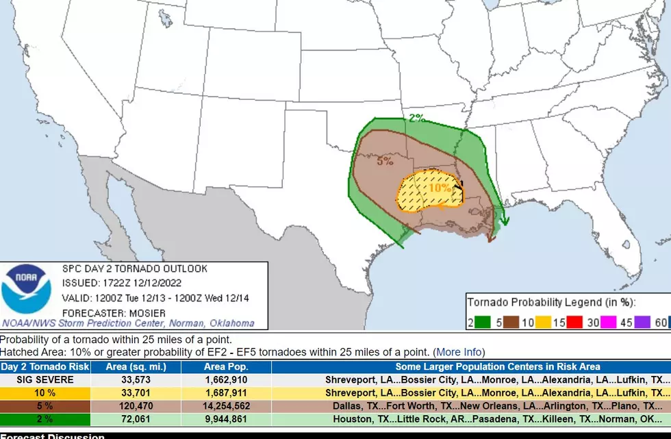
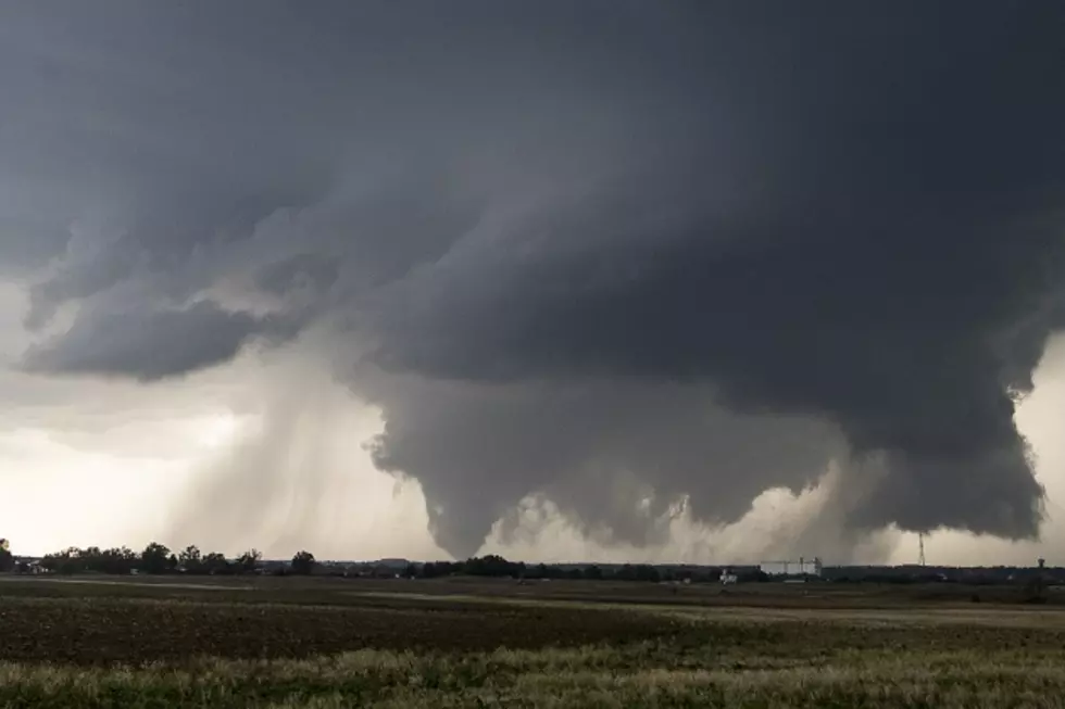
EF2 or Stronger Tornadoes Possible
Our next cold front will put all of East Texas at risk for severe storms Monday afternoon through Monday night. As you can see in the 'hatched area' on the map below, most of northeast Texas and part of the Pineywoods need to be wary of the worst of the storms.

Those supercells could produce golfball-sized hail, up to 75 mph straight-line winds, or EF2 or stronger tornadoes. That means that anyone living in that hatched area has a one-in-ten chance of having a tornado with winds of at least 111 mph passing within 25 miles of their home.
All of Nacogdoches, Cherokee, Shelby, northern San Augustine, northern Sabine, and extreme northern Angelina Counties are included in this designated target. Lufkin is on the extreme southern boundary of this area.
Watch Out for Flooding, Too
The National Weather Service has issued a Flood Watch for most of Deep East Texas, including Angelina and Nacogdoches Counties. Houston, Trinity, and Polk Counties are NOT INCLUDED. That watch is in effect from noon Tuesday until 6 am Wednesday.
The storms on Monday could produce upwards of 2 inches of rain. That's not a major washout, but when you include that with the recent 2-4 inches of rain that we received a few days ago, flooding could quickly occur.
The Timing of Monday's Storms
Rain and a few thunderstorms are expected to start during the mid-morning hours on Monday, but most weather models are showing the most widespread severe storms to hit Lufkin, Nacogdoches, and surrounding areas between 3 pm and midnight.
Download our free station app to have alerts sent to your smartphone.

KEEP READING: Get answers to 51 of the most frequently asked weather questions...
LOOK: The most expensive weather and climate disasters in recent decades
Gallery Credit: KATELYN LEBOFF
More From Kicks 105