Bad.
From now through late this afternoon, forecasting models are in agreement that a trough pushing through Texas will bring Deep East Texas a significant chance of severe weather.
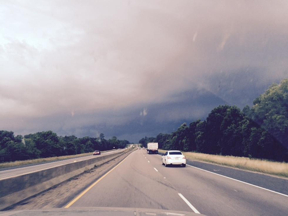
Hopefully, the scene from above won't be something that we see around Deep East Texas throughout the day and evening on Tuesday, but severe storms are expected, especially in those areas just south of Lufkin and extending towards Houston and Beaumont.
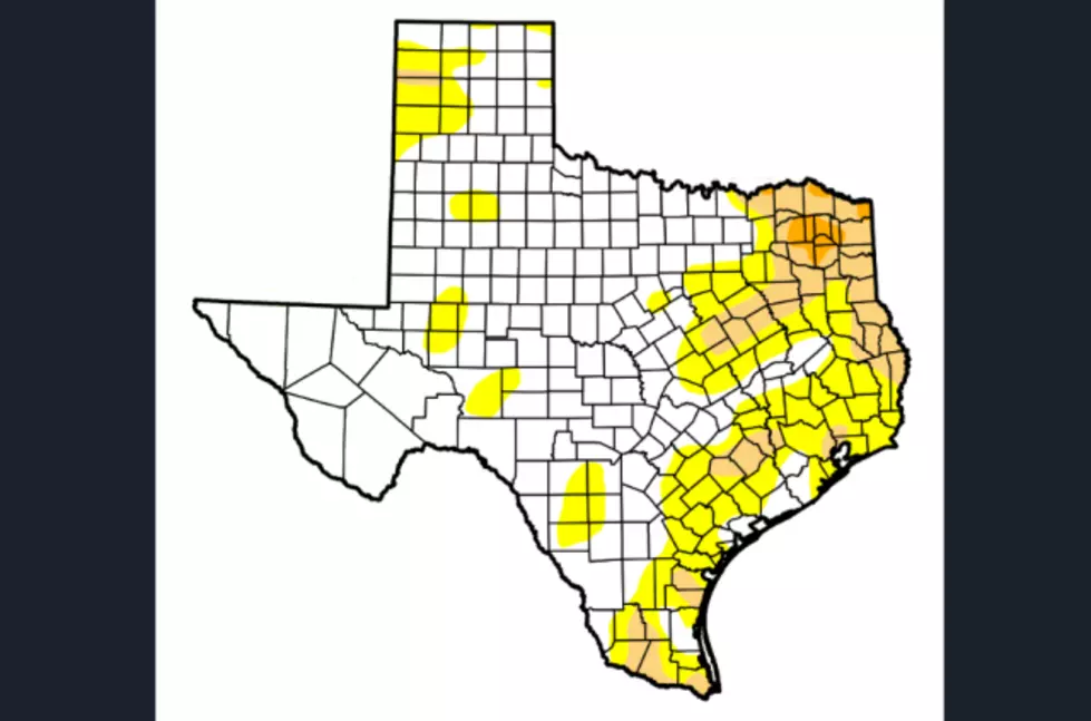
Overall, the Fall season across East Texas has been rather dry. Parts of the Pineywoods have actually been classified back into a moderate to severe drought.
Tornado season in East Texas usually falls from March through May, but, those that have lived in the Pineywoods for a while know that the threat of tornadoes in November and December is not out of the ordinary.
During the election season there is always a lot of discussion as to whether states are red or blue. When it comes to all seasons, however, colors that you don't want your state to be are yellow, red, and brown, at least according to the United States Drought Monitor.
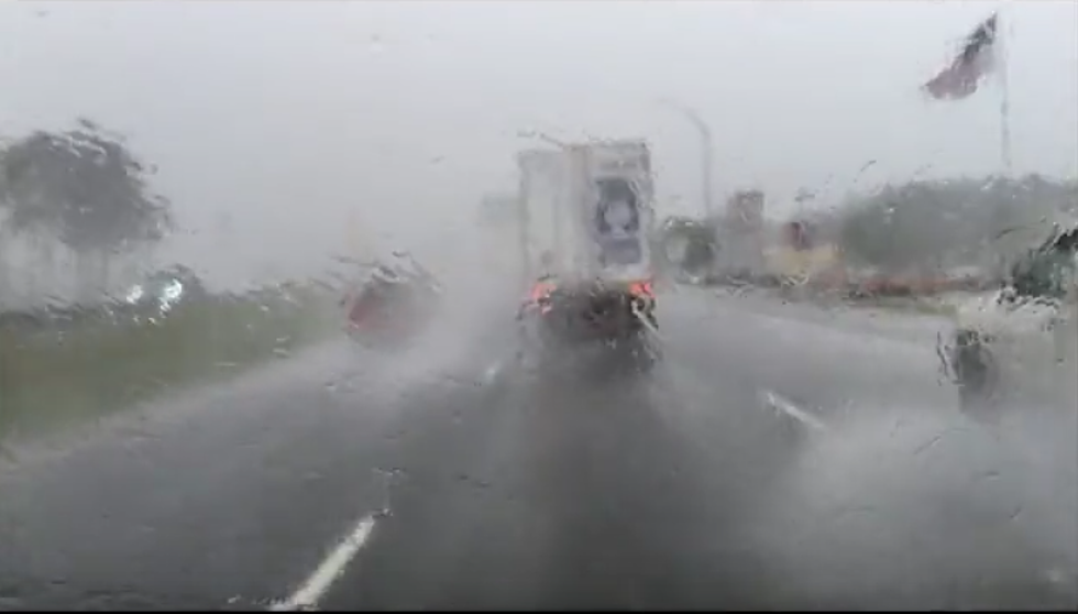
Late this Friday afternoon, the National Weather Service issued a 'Significant Weather Advisory' for parts of Angelina County...so I thought I would drive into the storm and see exactly what makes up 'significant weather'.
It's been a while since we have referenced this rainfall potential map, but things are looking promising over the next several days when it comes to rain and cooler temperatures for East Texas.
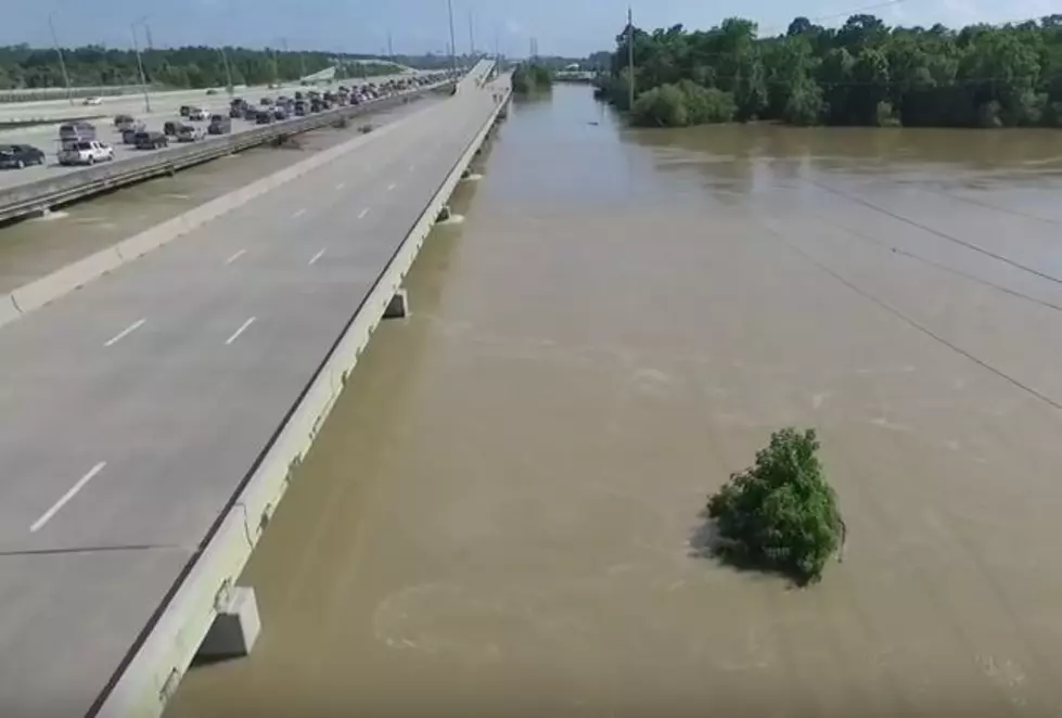
On Thursday, May 26th, up to a foot of rain fell widespread over the Brazos Valley and around the Conroe area. The runoff from the deluge fed into the Trinity and San Jacinto Rivers.
It looks like East Texas is in for a '1-2 weather punch' over the next several days as a series of storms is expected to bring the possibility of severe storms and multiple heavy downpours.