Flooding, Severe Storms, & Tornadoes Possible in Deep East Texas
What's that old cliche? Be careful what you ask for because you just might get it.
Since the late spring and through our East Texas summer, we have experienced extreme heat and below-normal rainfall totals. That has led to many folks in our neck of the woods praying for some relief. Over the past week or two, a lot of East Texas has seen some of that relief.
Still, the Pineywoods needs more rain to quench this parched landscape. The recent rains have definitely been welcome, but they haven't been enough to wipe away the burn bans that are in place.
Remember That Cliche?
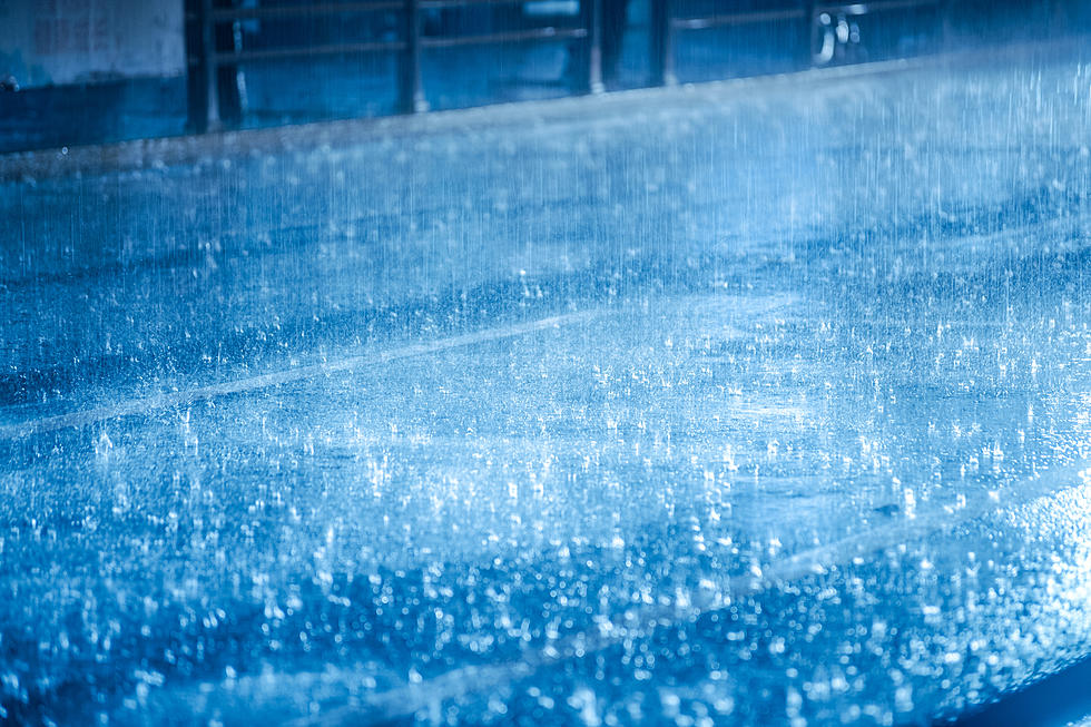
The National Weather Service has issued a Flood Watch for a large portion of East Texas through Tuesday. Over the next 2-3 days, frequent downpours could bring another inch or two to the area, however, some locations could get up to 6 inches of rain.
Many of the interstates in the Dallas area were impassable late Sunday night due to massive flooding. Flash Flood Warnings have also been issued Monday morning around the Longview, Texas area.
But Wait...There's More
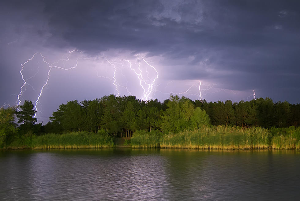
Forecasters are also advising residents in Deep East Texas to be wary on Monday of severe storms. If they do develop, the biggest threat will be straight-line winds gusting to near 60 mph.
However, the Storm Prediction Center has mentioned the dreaded 'T word' when it comes to our outlook this afternoon. Yes, a brief tornado is not out of the question with some of the stronger storms that are expected to develop Monday afternoon and evening. There is a small swath in East Texas that has a chance of tornadic development, and Lufkin/Nacogdoches is right in the middle.
Thankfully, the chances are low, but it is still a possibility.
The chance of severe storms and flooding is yet another reason to download our free radio station App if you have not done so already.

We will send breaking weather alerts to your smartphone to keep you updated.
Damage from Hurricane Ike
Gallery Credit: Danny Merrell
LOOK: The most expensive weather and climate disasters in recent decades
Gallery Credit: KATELYN LEBOFF
More From Kicks 105