What the Heck is Going on With Google Maps at the Angelina River Bridge?!
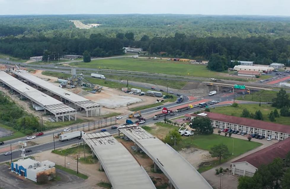
A few days ago, I was looking for a 'Street View' picture from Google Maps that I could use on a story concerning the construction work happening on Highway 59 at the Angelina River Bridge.
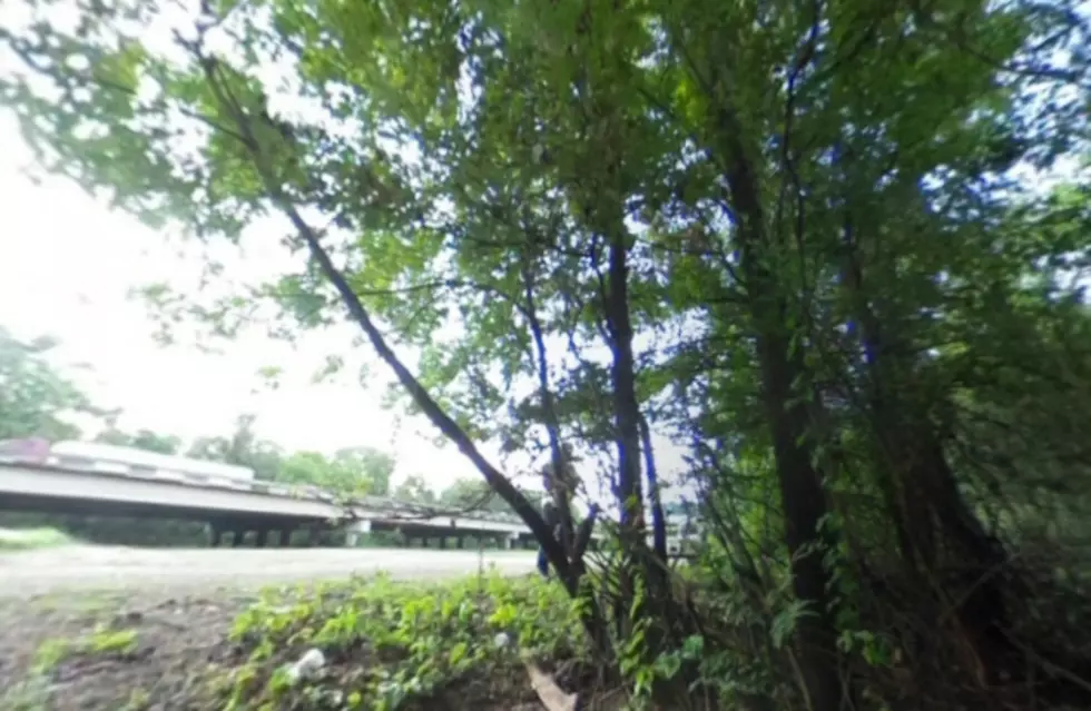
The first 'Street View' picture that came up when I clicked the roadway around the bridge was not one showing the concrete roadway and cars and trucks traveling, instead, I was taken deep within the depths of the river bottom.
If you click on the picture above, you can get a movable 360 degree view of the surroundings. Can you spot the camera? How about the poison ivy? Is that money by the camera? And who the heck is that guy behind the tree and what is he doing?
The biggest question is why is Google Maps including photos like this on their street view feature? Don't get me wrong, I think it's kind of cool to have a detailed view on an area where so many anglers put in their boats into the Angelina River, but this is a panoramic view of thicket. It doesn't seem to do much good in the grand scheme of things unless you're searching for Bigfoot.
More From Kicks 105


