BREAKING: East Texas May See a Tornado Outbreak on Tuesday
A Troubling Forecast
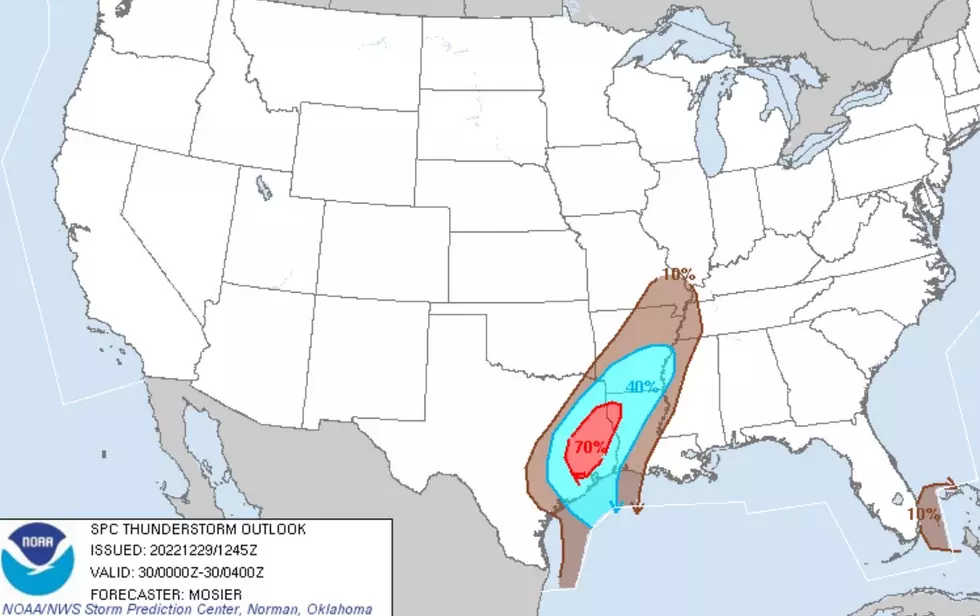
There is something that you don't see very often in the latest long-range forecast from the Storm Prediction Center in Oklahoma...and it's not a good thing. Take a look at this forecast map for Tuesday, December 13.

The brown shaded patch represents an area where there is a 30% chance of a severe storm popping up within 25 miles of any given location.
The rare (and troubling) part is that this is a forecast for six days down the road. Rarely do separate forecast models come into agreement on a severe weather scenario this far out. But, these models are in 'remarkable agreement' that a severe weather risk is coming on Tuesday to East Texas, Louisiana, Arkansas and western Mississippi.
What Type of Severe Weather is Coming?
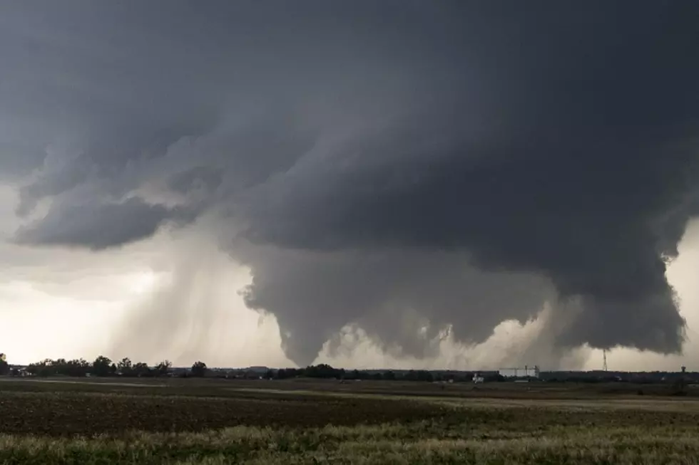
Pretty much, all forms of severe weather are on the table. That means damaging straight-line winds gusting to over 60 mph, hail, heavy downpours, and the dreaded tornadoes.
It's still too early for meteorologists to be a little more specific, but don't be surprised in the next few days for long-track, intense tornadoes and hail the size of ping-pong balls to be added to the forecast.
So, What About the Pineywoods?
Right now, it's too early to get into specifics, BUT, this early outlook seems to be very reminiscent of the forecast for the severe weather/tornado outbreak that took place over a week ago in Louisiana and western Mississippi. Parts of Deep East Texas from Etoile to Toledo Bend also had some tornado-warned storms. We could have a similar scenario on Tuesday afternoon.
As we get closer to Tuesday, I wouldn't be surprised to see a red (moderate) shaded area added to the map, perhaps centered somewhere along the Louisiana/Arkansas border. That would possibly be ground zero for the worst of the outbreak. I would also expect that brown area to be expanded, perhaps into the Pineywoods.
The National Weather Service in Shreveport is expecting the storms to hit East Texas sometime between late Tuesday morning through Tuesday afternoon. An inch to two inches of rain could be widespread from some o the heavier downpours.

How to Stay Up to Date
Regardless of whether the severe weather potential increases or diminishes (we hope), be mindful of what you would do if severe weather threatens your home, and make sure you have downloaded our station App. We will send breaking weather alerts to your smartphone.

As the severe weather outlook is updated, we'll let you know.
LOOK: The most extreme temperatures in the history of every state
Gallery Credit: Anuradha Varanasi
LOOK: The most expensive weather and climate disasters in recent decades
Gallery Credit: KATELYN LEBOFF
More From Kicks 105