These East Texas Cities Are At Risk in Tuesday’s Tornado Outbreak

Ever since the middle of last week, the Storm Prediction Center (SPC) based in Norman, Oklahoma has been advising residents of East Texas, Louisiana, and Arkansas to be prepared for a possible severe weather outbreak coming our way on Tuesday, December 13. We are now one day away from this potentially dangerous situation and the SPC has released its latest guidance.
Be Wary East Texas
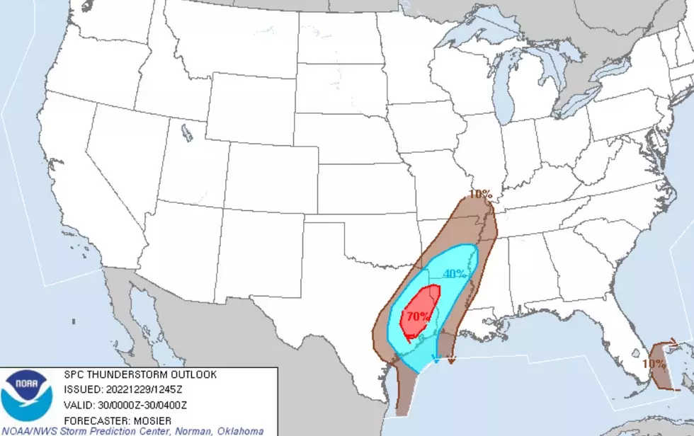
If you live in towns such as San Augustine, Center, or Hemphill, you are at the greatest risk of a strong tornado forming near you in this severe weather scenario. The dotted-hatched area in the map below indicates a heightened risk of a strong tornado (EF2 or stronger) passing within 25 miles of a point in that region.

The main risk area is encompassed by most of northern Louisiana, but anyone living in Shelby, Sabine, San Augustine and eastern Nacogdoches Counties should keep alert to threatening weather on Tuesday.
In addition to the towns mentioned previously, this includes but is not limited to:
- Martinsville
- Chireno
- Timpson
- Garrison
- Shelbyville
- Broaddus
- Pineland
- Entire Toledo Bend Lake Region
The following map from the National Weather Service in Shreveport provides better details of the areas most at risk from Tuesday's weather.

The Timing of Tuesday's Storms
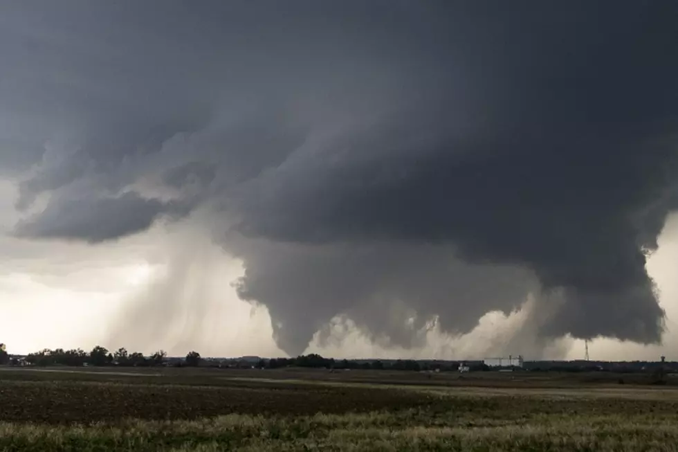
It was exactly two weeks ago that we had a very similar forecast to deal with. Tuesday, November 29, severe storms developed across portions of the Pineywoods, and several tornado warnings were issued (mainly east of Lufkin/Nacogdoches). These nasty cells formed mainly during the afternoon hours of that Tuesday.
This could be 'deja vu all over again.'
The National Weather Service is saying that the worst of the storms should develop and pass through Deep East Texas between 11 am and 6 pm on Tuesday. Severe storms are not a good thing, but we'd much rather have them rumble through during the day than at night.
Winter Returns...with SNOW?
After the storms, get ready for a rush of cold weather to the South. It looks like the arctic air will stay for a while. In fact, as of this posting, there is a SLIGHT CHANCE OF SNOW for Lufkin/Nacogdoches on Saturday night.
There are even a few long-range forecasts pointing to a possible White Christmas across parts of central, north and east Texas. We'll post a story on that as we get closer to the 25th.
Stay Up To Date
As always, keep up to date with all weather situations by downloading our station App to have breaking weather alerts sent straight to your smartphone.
LOOK: The most expensive weather and climate disasters in recent decades
Gallery Credit: KATELYN LEBOFF
KEEP READING: Get answers to 51 of the most frequently asked weather questions...
More From Kicks 105