East Texas Weather: Cold, Stormy, Then Record Heat for Christmas?
This Christmas in addition to opening presents, driving around looking at Christmas lights and going to church, you may consider heading out to the lake and working on your tan.
So far this late Fall season has been rather toasty. Every once in a while we'll get a taste of the colder air, but the heat quickly settles back in. It looks like that pattern is going to stay with us through the New Year.
Today (Friday, 12/17), we are once again about 20 degrees above normal for this time of year, but another strong cold front is set to push through mid-morning on Saturday. That will drop the high temperatures into the 50s by Saturday afternoon. We could see some lows close to the freezing mark Monday and Tuesday nights.
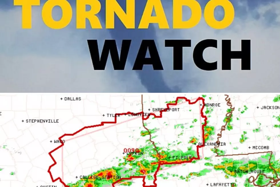
Forecasters are saying that our rain chances are at 100% on Saturday. Some of those storms could get strong or severe. They say the worst case scenario would be some hail and strong, gusty winds. Most areas of East Texas are expected to get an inch of rain or less from this rain event.
By the end of next week, however, the warmer weather returns. According to the GFS weather model, we could see temps near 80 on Christmas weekend. The all-time record high for Lufkin for Christmas Day is 82. This weather model shows parts of north central Texas pushing 90! It looks like this could continue as we welcome in 2022. Highs near 80 are in the mix for January 1.
A quick side note, another widely used weather model shows our high temperatures only near 60 on Christmas Day. Just goes to show that meteorology is not an exact science. It will be interesting to see which model got it right.
I don't mind wearing shorts during the holidays, that can be a rather common occurrence in the Pineywoods. What I do mind is all these above normal temps are keeping my yard growing and I'd like to get a break from mowing the yard every couple of weeks.
Here's a look at some of the Christmas lights around East Texas.
Holiday Light Displays Across East Texas - 2021
More From Kicks 105


