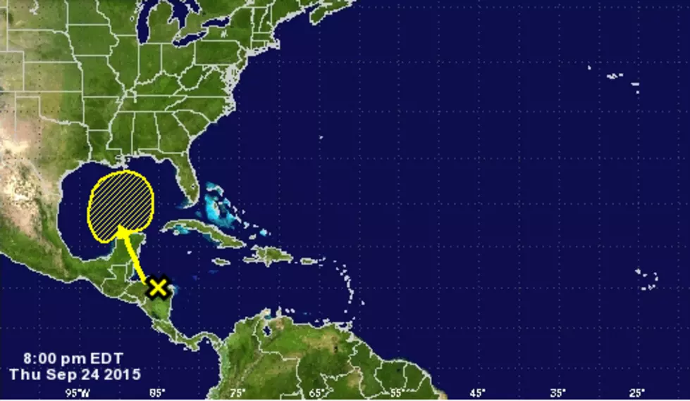
The Atlantic Hurricane Season runs from June 1st through November 30th, and there are a couple storm systems that are showing some promise of development.
For the most part, it has been a quiet Hurricane Season. In June, we experienced heavy rains from the remnants of Tropical Storm Bill, but nothing to speak of since then...until now?
As predicted, the tropical system in the Gulf of Mexico strengthened quickly overnight to become Tropical Storm Bill. As of 7:30 AM, Bill is making landfall at Matagorda Bay, near Port O'Connor.
As of 4pm today, Hurricane Isaac has top winds of 80mph and is located about 40 miles off the extreme southeastern tip of Louisiana.
Landfall could happen as early as this evening, but what does Isaac have in store for East Texas?
Late Tuesday or early Wednesday Isaac is expected to make landfall as a hurricane with winds up to 100mph. That's dangerous enough, but there's another major fear when it comes to this particular storm.
Even the experts at the National Hurricane Center are admitting that there is a lot of uncertainty when it comes to the forecast track of Tropical Storm Isaac.
As of 1pm today, hurricane watches now extend from near Morgan City, Louisiana to about halfway through the Panhandle of Florida.