Downpours May Drench East Texas With Six Inches of Rain This Week
April showers bring May flowers
If that old adage is true, then the honeybees will be loving the East Texas forecast for this next week.
Thankfully, we have steered clear (for the most part) of the severe storms and tornadoes that have ravaged much of the South and Midwest over the past few weeks. More severe outbreaks are expected over the next seven days, but, as of now, the biggest threat to Deep East Texas is rain...and lots of it.
So...How Much Rain We Talkin' about?
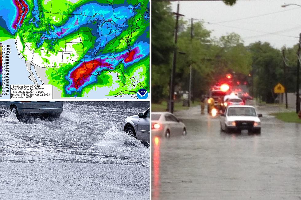
Our first round of showers and storms should take place Sunday afternoon/evening. There might be some heavy downpours, but about a quarter-inch of rain should be the norm.
Monday and Tuesday aren't looking bad, however, once we get into Wednesday, Deep East Texas will have some healthy rain chances all the way through the weekend.
A half-inch to an inch of rain or more should be commonplace on Wednesday, but the heaviest of the deluges are expected to drench us on Friday and Saturday. Anywhere from another inch to four inches of rain could fall across the Pineywoods.
Anytime you get that much rain in just a day or two, there's bound to be some flooding. So, stay alert especially if you live in flood-prone areas.
Silver Lining
Once again, the silver lining out of all this is that the best chances of severe weather will stay north of Interstate 20. At least, that's what the Storm Prediction Center in Norman, Oklahoma is forecasting at this time.
Oh, yeah, and the other silver lining is that the bees will be very happy come May.

Little Rock Tornado Damage - March 31
Gallery Credit: Danny Merrell
Look: 10 of The Most Beautiful and Unique Wildflowers That Texas Has To Offer
Gallery Credit: Brad Elliott
The Strongest Earthquakes in East Texas History
Gallery Credit: Danny Merrell
More From Kicks 105


