Flooding Possible in East Texas Saturday and Sunday
Anyone who has lived in East Texas for a while is used to the 'feast or famine' concept regarding our weather.
For example, most of the Pineywoods is well over the norms for precipitation this year. Lufkin is running over 6 inches above for the year in total rainfall amounts. But, we also know that, just like last summer, another round of burn bans and parched lands could be just around the corner.
Heavy Downpours Expected on Saturday
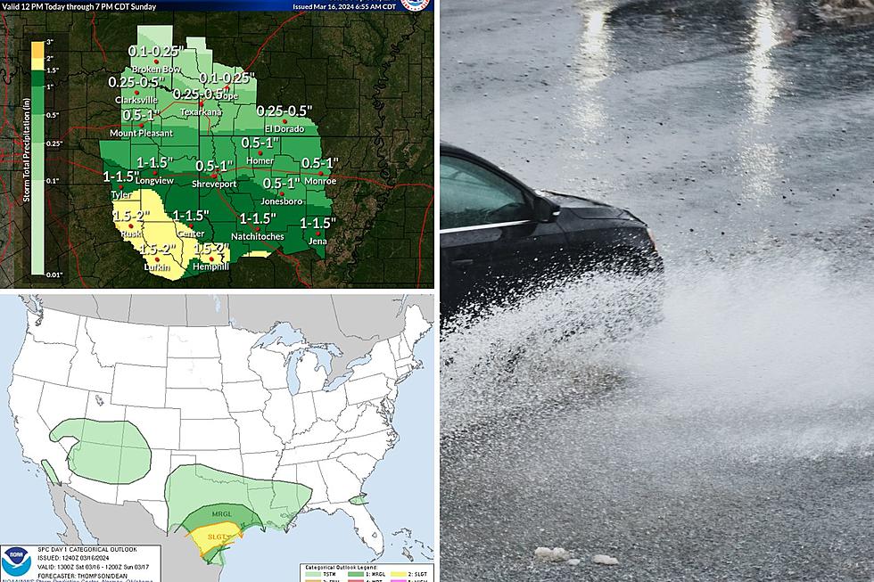
Unsettled weather is forecasted across much of east Texas today and tonight. Although severe weather is possible, mainly in the form of hail or damaging straight-line winds, the biggest threat is going to come from heavy downpours.
Some areas in east Texas could get at least 2 inches of rain between now and midday Sunday. Isolated areas could see much more.
Where is the Most Rain Going to Fall?
When it comes to the eastern third of Texas, the biggest threat of flooding rain is expected south of Interstate 20. The ArkLaTex, Deep East Texas, and the upper Texas coast are all at risk for heavy rain that keeps training across the same area.
The heaviest rainfall amounts in east Texas are predicted to occur Saturday afternoon and evening.
Another Blast of Winter
Once the showers pass, get ready for another surge of colder air. Sunday night, blustery north winds will bring temperatures into the 40s. Sunshine returns on Monday, but high temps will only make it to the 60s. Monday night, bundle up because lows in the upper 30s will cover much of the Pineywoods.
By the way, spring officially arrives Tuesday night.
Keep Those Texas Mosquitoes Away By Wearing One Of These 4 Colors
Gallery Credit: Lucky Larry, Mix 93-1
99-Acre Ranch For Sale in Elkhart, Texas
Gallery Credit: Billy Jenkins
More From Kicks 105


