BREAKING: Tornado Watch Has Been Issued for Deep East Texas
UPDATE - The Tornado Watch has been canceled for all Deep East Texas Counties with the exception of Sabine, Jasper, and Newton Counties.
ORIGINAL STORY
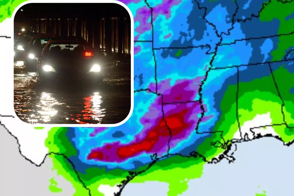
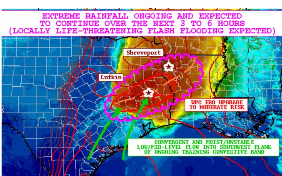
A complex and dangerous weather scenario is developing across East Texas this afternoon. Storms are expected to become more numerous across the Pineywoods, and some of those could be severe with hazards such as hail, damaging straight-line winds, and tornadoes.
As a result, the Storm Prediction Center in Norman, Oklahoma has issued a Tornado Watch for much of Deep East Texas and Southeast Texas until 7 p.m.
Those counties included in the Pineywoods include:
- Angelina
- Nacogdoches
- Polk
- Trinity
- Houston
- Sabine
- Shelby
- San Augustine
- Cherokee
- Houston
- Tyler
- Jasper
- Rusk
- Panola
A warm front located near the ArkLaTex continues to usher in warm, tropical air from the south. A strong cold front over central Texas is pushing this way and forecasters expect east-central Texas and central Louisiana to be the battleground for these two air masses.
Some of these severe storms could drop golf-ball-sized hail, plus a few of the tornadoes that may develop could be strong. This means that EF2 (111 mph) or greater tornadoes are possible.
This is a dangerous weather outlook. Please have an action plan in place for your home or business should threatening weather approach. Remember, a mobile home, RV, or trailer is never a good place to seek shelter in the event of a tornado or damaging straight-line winds.
Most of the storm activity across the Lufkin/Nacogdoches area is expected to diminish by sunset. Cooler weather will begin to spread through the region. We should dip into the upper 40s tonight and only warm up to the mid-50s on Tuesday.
Download the KICKS 105 App to have weather alerts sent to your smartphone.

LOOK: The most expensive weather and climate disasters in recent decades
Gallery Credit: KATELYN LEBOFF
More From Kicks 105


