Wednesday Morning Ice Storm Possible for East Texas
And now let's get ready for round 2, or I guess we could say round 3 if we go back to January's snowfall.
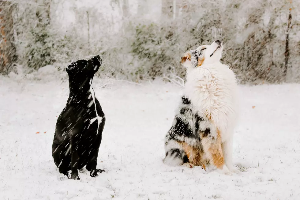
Fresh off the heels of Monday's sleet, freezing rain, nearly a half foot of snow and single digit temperatures, weather forecasters are now warning of an East Texas ice storm on Wednesday. After an afternoon of much needed sun, the clouds will return tonight bringing with them another punch of wintry precipitation.
Here's how the timeline is expected to play out:
Tuesday evening, expect a slight chance of a wintry mix of snow, sleet and/or freezing rain. Very light, if any, accumulations are expected. Temperatures will dip to the mid-20s by midnight and hold there for the remainder of the night. Hey, I'll take 25 over single digit temperatures anytime.
Wednesday early morning between midnight to 5 a.m., the chance of wintry precipitation goes up to 55%. We could see up to an inch of additional snow and/or up to a tenth of an inch of freezing rain/sleet accumulation.
Wednesday morning from 5 a.m. to noon is when we'll see our best chance of wintry precipitation (about 100%). It looks like most of the precipitation at this point will be in the form of freezing rain. Nearly two-tenths of an inch of ice could accumulate on top of what we receive overnight. This would be more than enough to cause hundreds if not thousands of instances of limbs falling onto power lines, not to mention the treacherous roads this would create.
By Wednesday at lunchtime, chances of precipitation will remain high (80%), but the temperatures should creep to just above freezing giving us just good 'ol liquid rain throughout the afternoon. Rain amounts will be relatively light for the most part throughout Wednesday afternoon.
Overnight Wednesday and early Thursday, we'll have a slight chance of more freezing rain, sleet and/or snow with just minimal accumulations possible.
We've already had the dangerous driving conditions in place since Monday. This new system will probably reinforce those conditions, so please stay off the roads if at all possible. The biggest threat will be possibility of widespread, and possibly long-term power outages, more so than what was produced in our earlier winter storm.

A Winter Storm Warning is in place for the area from Tuesday evening until noon Thursday. Heavy snow is expected to fall especially north of Interstate 20 all the way into Oklahoma.
Take precautions, stay off the roads, and pray to God to keep us safe.
KEEP READING: Get answers to 51 of the most frequently asked weather questions...
More From Kicks 105


