Possible Severe Storms, Then Crazy Windy Week for East Texas
The good news for most of Deep East Texas is that the majority of the severe weather outbreak on Monday is expected to stay south and southeast of Lufkin and Nacogdoches.
The bad news is that this week will bring gusty winds to much of the Lone Star State. In fact, some of those winds could gust to tropical storm strength (39 mph+)
Let's Start With The Severe Weather
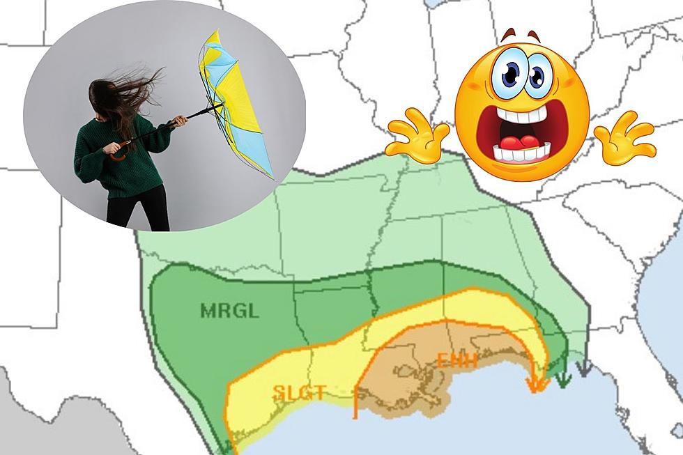
A cold front will bring a vigorous storm system to the Gulf South on Monday. The Storm Prediction Center has placed much of the upper Texas coast in the 'slight' warned area for severe storms. That is basically a 2 out of 5 scale.
Southern Tyler, Polk, Jasper and Newton Counties are included in this yellow area. Angelina and Nacogdoches Counties are included in the marginal threat area (1 out of 5)
Damaging straight-line winds and hail look to be the main threats, although an isolated tornado is not out of the question. The largest threat for tornados will take place from Baton Rouge to the western tip of the Florida Panhandle.
Windy Week Ahead
Monday, southerly winds ahead of the cold front will gust up to 30 mph across the area, with some isolated gusts to 40 mph. With the cold frontal passage, the winds will shift to the west and gust up to 35 mph.
Then, later in the week, the winds will once again come from the south and we could once again have gusts over 30 mph.
But wait, there's more!
Then, another strong cold front at the end of the week is expected to bring us westerly gusts once again near tropical storm strength.
LOOK: The most expensive weather and climate disasters in recent decades
Gallery Credit: KATELYN LEBOFF
More From Kicks 105


