East Texas Severe Weather Outlook – Things Are Looking Better
This past Monday, the Storm Prediction Center in Norman, Oklahoma issued an ominous warning. Much of East and Southeast Texas was in the level 2 target zone for severe weather on Saturday.
Issuing this severe forecast six days out is rare, especially during the winter months. Given the confidence weather models were showing for Saturday, I really thought much of East Texas would be upgraded to the Level 3 (or enhanced) severe weather threat.
The Severe Threat Has Shifted
The meteorologists issued their latest severe weather advisory as of noon Friday, and the outlook for East and Southeast Texas is looking much better.
You'll notice that the level 2 (yellow) threat has now been shifted eastward. Only the extreme northeastern and central eastern sections of Texas remain in that zone. Lufkin and Nacogdoches, and for that matter, Houston, have been shifted to a marginal threat of severe weather for Saturday.
Meanwhile, the slight threat remains for towns such as Carthage, Center, and Hemphill.
So, What Can We Expect Now?
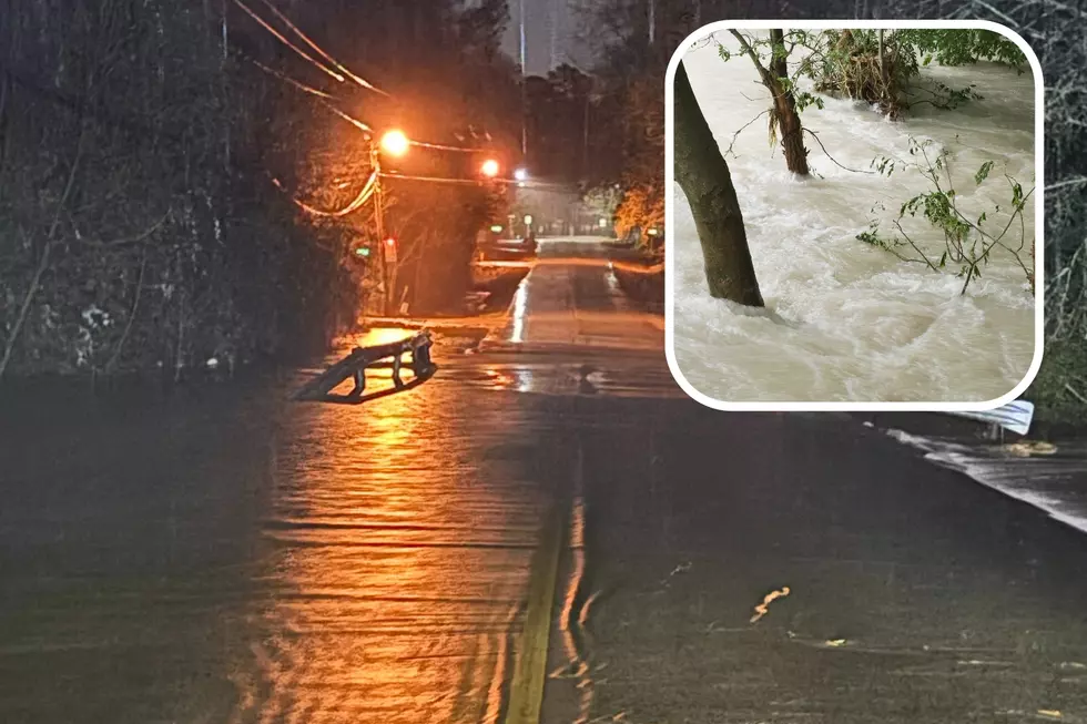
Rain chances will be below 20% before noon on Saturday. That will jump to a 40% chance by mid-afternoon. But, that's down from the 80% chance that was being forecast a few days ago.
Some of those storms could be strong, or even severe, but the biggest threat of those looks to have shifted east. Still, it's a good idea to keep informed of the changing weather by downloading our station app.

Once the storms pass, get ready for much colder air and windy conditions. Early Sunday morning, the temperature will dip to near 40 degrees, but winds gusting over 20 mph will make it feel quite a bit colder.
LOOK: What is the coldest city in every state?
Gallery Credit: Daniel Dennerline
More From Kicks 105