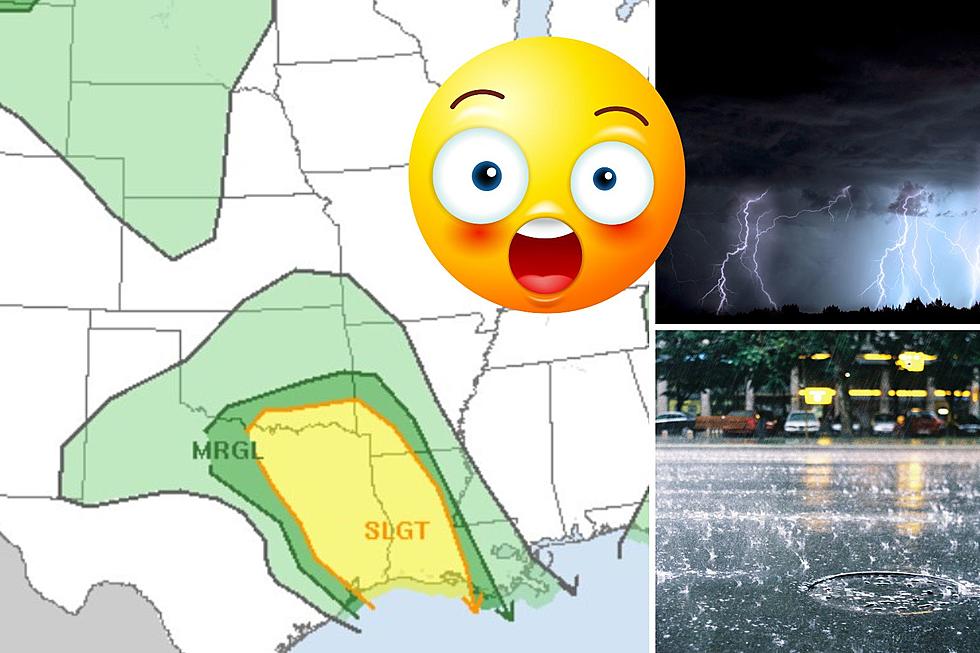
Severe Weather Outbreak Possible Across Deep East Texas Today
The Storm Prediction Center in Norman, Oklahoma is advising residents across much of East Texas to be prepared for the possibility of severe weather this Friday afternoon and evening.
The last time East Texas was in the target zone for scattered severe weather was in early June. Damaging winds, frequent lightning, and hail are not exactly what we want, but if it comes with some badly needed downpours, we will have to take the good with the bad.
When Will The Storms Hit?
Showers and thunderstorms have already started to pop off early Friday morning across parts of the ArkLaTex. Afternoon heating is expected to be the catalyst for quite a few thunderstorms building across Deep East Texas during the afternoon, evening, and overnight hours.
The chance of rain/storms is around 40% for Friday afternoon and evening, then the chance goes up to 50-60% during the daylight hours on Saturday. Some of the storms on Saturday could also be severe, but most of the severe weather is expected on Friday.
Tornadoes?
The National Weather Service in Shreveport gives these storms a very low chance of producing any tornadoes. The main threats from these storms will be damaging winds and hail.
Another unwanted byproduct of these storms will be the ongoing fire hazard. Yes, rain is needed to alleviate our dry conditions, but lightning strikes and gusty winds are not a good combination in an area that is already at high risk for wildfires.
So, pray for the rain, but hopefully, we can keep the severe weather to a minimum. If you have plans to head to a Friday night football game or to the VFW Fall Carnival, make sure to download our KICKS 105 App to have weather alerts sent to your smartphone.

KEEP READING: Get answers to 51 of the most frequently asked weather questions...
LOOK: The most expensive weather and climate disasters in recent decades
Gallery Credit: KATELYN LEBOFF
More From Kicks 105


