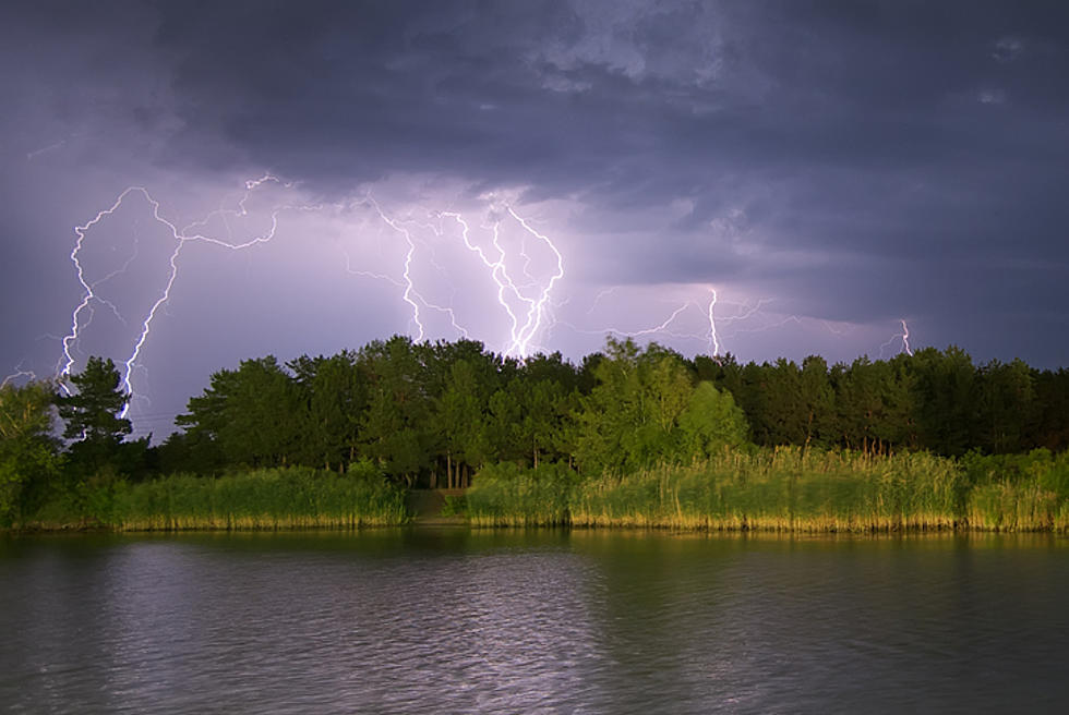
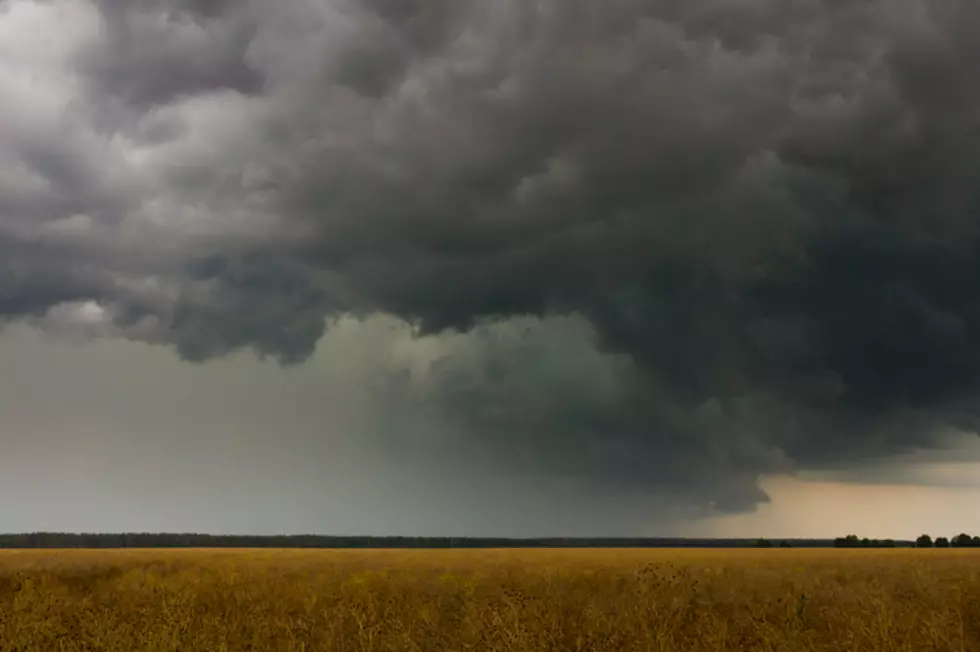
Rainfall amounts of over 2 inches, damaging winds, hail, and even tornadoes are all possibilities when severe storms move through East Texas overnight.
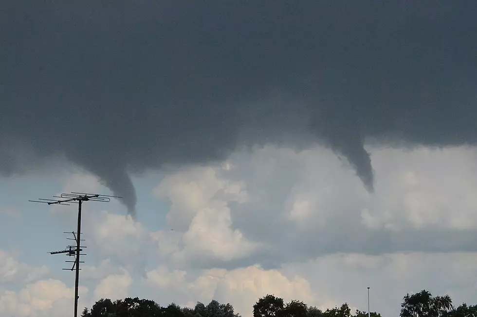
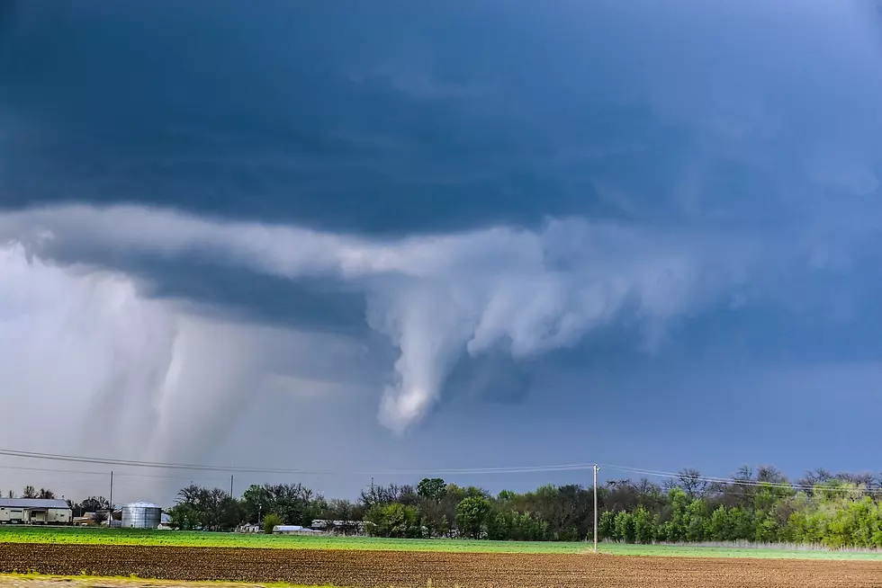
It's not very reassuring when the National Weather Service issues a Tornado Watch for your region and along with that puts out a bulletin that this is a 'Particularly Dangerous Situation'. This means that numerous tornadoes are expected across portions of East and Northeast Texas through the afternoon and night, and a few intense tornadoes with tennis ball sized hail could occur...
Heavy rainfall is moving across the Deep East Texas area on this Wednesday. Severe storms have also been noted by the National Weather Service. We will use this site to keep you up to date with weather watches and warnings, road issues, as well as area rainfall totals.
The Storm Prediction Center in Oklahoma City has issued a Tornado Watch until 9 p.m. which includes Angelina, Nacogdoches, San Augustine, Shelby, and Sabine counties.
Tornado season in East Texas usually falls from March through May, but, those that have lived in the Pineywoods for a while know that the threat of tornadoes in November and December is not out of the ordinary.